WEATHER BLOG: Winter Has Arrived
This is the coldest air mass we have had in at least two years.
The coldest day last season was Jan. 4 when we only got to 31 degrees and dropped to 13 degrees overnight. In fact, there were only three nights last season that got down to the teens. January 2011 was different; it was a cold month. However, we still only had a stretch of three days with highs in the 20s. So the air mass settling in right now is definitely a different brand of cold than we have had in some time.
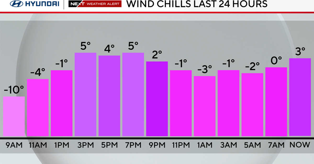
We dropped to 18 degrees Tuesday morning with a wind chill of only 4. Even with sunshine, we are only going up to 26 degrees with the gusty winds making it feel like it's in the teens. Then we go even lower Tuesday night. Areas outside of the immediate metro and suburban Baltimore could drop to the single digits with western Maryland all the way below zero. Highs will only be in the 20s again Wednesday and Thursday.
There is a wind chill advisory in effect for Garrett and Allegany counties through Wednesday, with the wind chill at a danger level. The winds will back off somewhat Wednesday night and early Thursday as a front passes north of us. There is the chance for some flurries with that front as it moves through. Then the focus shifts to another storm coming from the west Friday.
We are still a few days out, but Friday's storm could bring some snow to the region and maybe even some accumulating snow. We will continue to follow the details and keep you posted. One thing we do know, it will reinforce the cold air behind it going into the weekend.


