WEATHER BLOG: Warm Today, Gone Tomorrow
We are already at 68 degrees at 1 p.m. Our average is only 58 degrees and the record is 78 from 1879. We probably won't break the record, but the fact that we are even talking about it means it's a warm afternoon. Take a few minutes to step outside and enjoy the beautiful weather because a cold front is coming that will change up our weather pattern for the rest of the week.
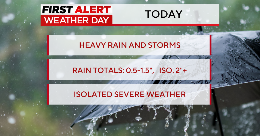
The cold front moving our way has been a very strong one. It roared into the West Coast with rain and snow, dumped a lot of snow in the Rockies, then produced severe weather across the Plains. It has already peaked in strength, and will be a much weaker version of itself when it arrives here. Expect rain to arrive overnight/early morning and continue for the first half of the day. The front will get out of here later Tuesday, bringing drier and colder air behind it. We may even see some sunshine later Tuesday.
Temperatures will only drop to near 50 degrees overnight, then barely rise Tuesday. Our high will be early Tuesday with temperatures falling into the 40s Tuesday afternoon. We may not even get out of the 40s for highs on Wednesday. Temperatures will moderate later in the week, but continue to run below average.
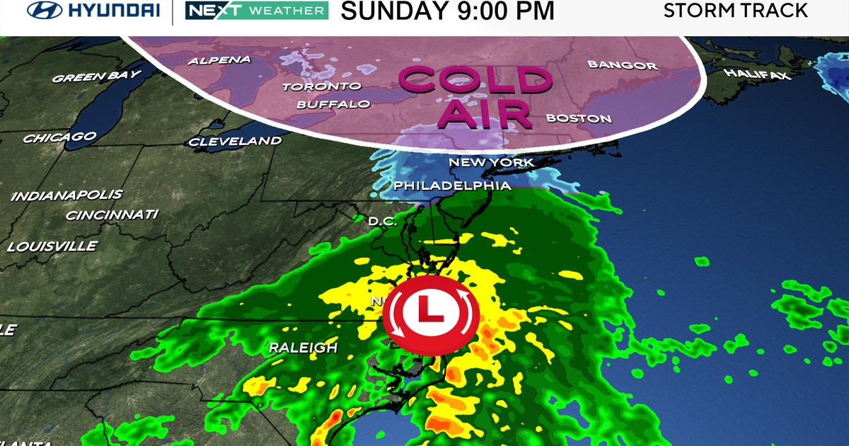
There is a weak storm that will cut by to our south Thursday. It may clip us with clouds and a shower along the way if it does track close enough to us. Otherwise, we will be watching for another storm to move our way early next week.
