WEATHER BLOG: Tropical Storm Andrea
Starting Thursday, we should begin to notice clouds playing a much more prominent role. And, of course, this should be followed by a few showers and a thunderstorm or two.
We believe that temperatures Thursday will be able to reach the upper 70s, and then it should wind up near 60 at night under a rather cloudy sky and with a few widely-separated showers.
Friday, we can expect showers to become more frequent as the day wears on, because we will be keeping an eye on two different features: a wave of low pressure currently located in the Midwest, which will eventually track into northern New England by late Friday afternoon, and "Andrea," the storm which got named in the eastern Gulf of Mexico late Wednesday.
Even though this tropical system did manage to overcome a decent amount of wind shear in its formative stages and ultimately exceed our expectations by being classified as a tropical storm, this still does not change the expected outcome for the sensible weather along the Eastern Seaboard later Friday and night and on Saturday.
Andrea is expected to reach land along the coastal bend in Florida, which is a part of Florida's Gulf Coast Thursday night, and this system will then begin to accelerate rapidly Friday as the core of tropical moisture starts to spread northward along the coasts of Georgia and the Carolinas.
The challenges that we will be grappling with here over the next day or so is trying to determine just how much rain could fall during a 12-hour period around here, with the heaviest Friday happening between noon and midnight.
Wednesday night's model run of the European prints out almost two inches of rain during a 12-hour period between 2 p.m. and 2 a.m. on Saturday, but this rain should taper to showers quickly Friday night.
So, we still think that with the core of the richest tropical moisture and whatever is left of this storm's center of circulation racing into New England by early on Saturday morning, temperatures on Saturday could reach the lower 80s in the afternoon.
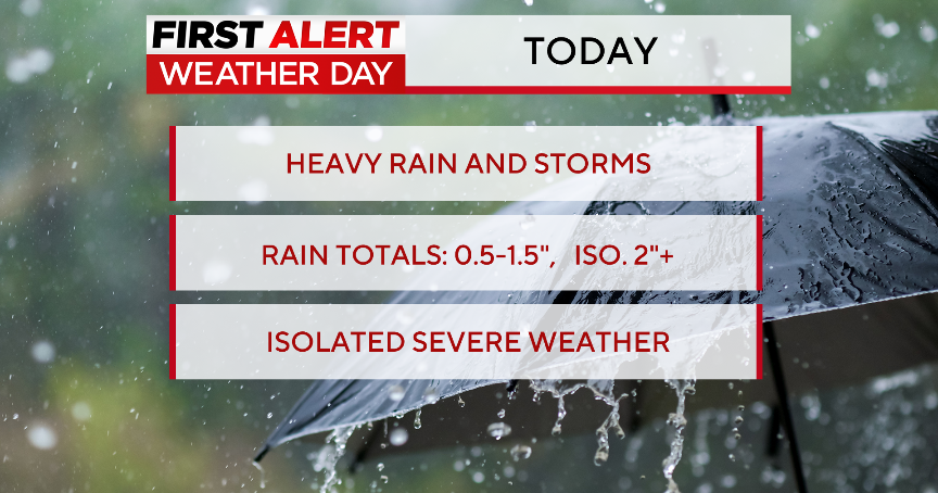
During the 36-hour period beginning this evening and ending on Saturday morning, our current call is for a general 1-3 inches of rain across the Greater Baltimore Area.
However, the timing of the system will ultimately determine how much (or how little) there will be.
Sunday is looking like the better of the two weekend days, with no less than partial sunshine and temperatures in the low 80s, and then we could be looking at a few additional round of showers and a thunderstorm or two early next week
Have a good day!
