WEATHER BLOG: Sunny Sunday
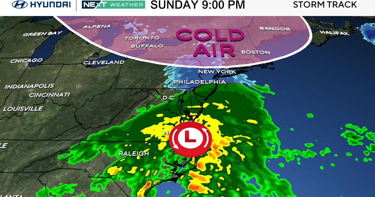
Low pressure southeast of Cape Cod early Sunday morning will move slowly east as a couple of jet stream disturbances (the first arriving from the Tennessee Valley, the latter arriving from the Great Lakes) strengthen the low and produce a notable rain and snowstorm for far eastern New England.
A moisture-starved cold front associated with the Great Lakes disturbance will cross the region Sunday afternoon.
Despite the frontal passage, active breezes from the northwest (gusting to near 25 mph) drying on descent from the Appalachians will punch holes in the clouds for the midday and afternoon hours. The breaks of sunshine will allow temps to climb to near 50 for the afternoon.
High pressure moving from western Great Lakes Sunday evening to the Northeast Seaboard by Monday evening will promote partly to mostly clear skies Sunday night and on Monday.
Winds will also gradually diminish as the high arrives. Temperatures will cool into the 20s Sunday night and rise back into 40s on Monday. Monday night will have increasing clouds.
The departing high will yield to a large storm moving from the Plains on Monday to the Ohio and Tennessee Valleys by early on Tuesday. As a result of the approaching storm, thickening clouds on Tuesday will yield to rain by midday. Temperatures will be high enough for the precipitation to start as rain.
