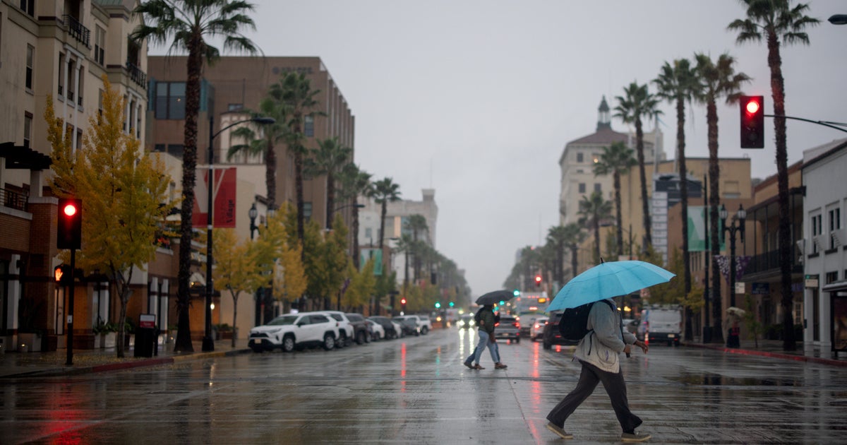
WEATHER BLOG: Stormy
A strong shortwave, or upper-level disturbance, that is currently located in the Ohio Valley will be digging into the eastern region over the next 48 hour. As a result, this very slow-moving impulse of jet stream energy will manage to tap into some very rich moisture, and the end result will be a much more widespread distribution of showers and thunderstorms than we've been seeing in recent day.
There's still a chance, especially through early this afternoon, that thunderstorms could produce some locally strong wind gusts and hail -- just like they have during each of the past two days in parts of southeastern Pennsylvania, Maryland, Virginia and in Delaware.
In fact, the Storm Prediction Center in Norman, Okla. has put much of eastern Pennsylvania, as well as parts of Maryland and New Jersey in its "slight risk" category for severe weather Thursday. However, with clouds preventing the temperature in several locations from climbing into the lower or middle 90s, the focus should begin to shift away from a concern about damaging winds and hail to more of a heightened awareness that some of the rain associated with showers and thunderstorms during the next 24-36 hours may result in flash flooding.
We've tried to emphasize this point since the beginning of the week, and the NWS has posted a Flash Flood Watch from this afternoon through Friday afternoon for much of the Northeast. As of this writing, various flash flood watches extended from northeastern Ohio into upstate New York, Vermont and also southeastward into the Greater NY Metropolitan Area and in southern New England. But for areas farther south, including the Greater Philadelphia Area and most places located to the south of the Mason-Dixon Line, there is sentiment that the necessary criteria may not be met for flash flooding to occur.
However, some of the harder downpours could still drop more than an inch of rain in some places in less than an hour's worth of time!
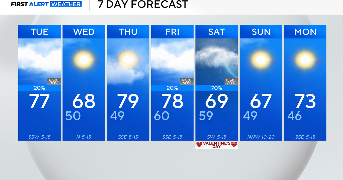
And, it should be pointed out that some thermometers in the mid-Atlantic states will probably still will wind up very close to 90, especially between Philadelphia and Washington, D.C.
