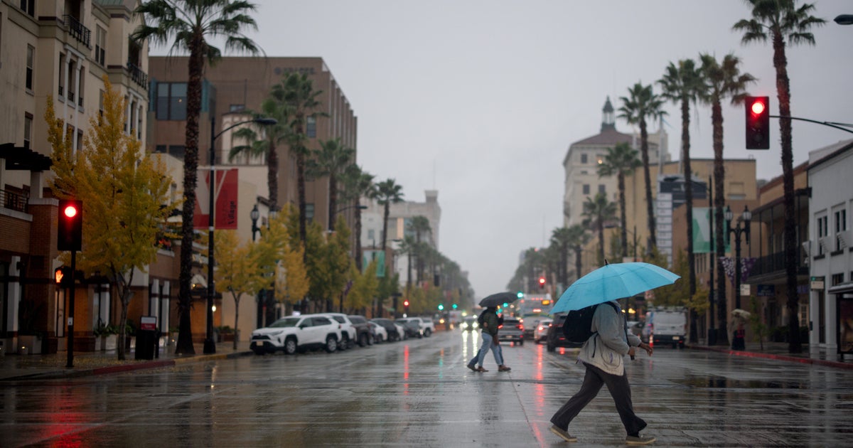
WEATHER BLOG: Stormy
This first batch of rain is moving away to the northeast and there will be a break for a time this afternoon. Meanwhile additional thunderstorms are expected to develop in Western Maryland and central and Eastern West Virginia and move east, reaching the area later this afternoon and evening.
Depending on how much clearing/heating there is between the two areas, this next batch could contain some severe weather or at the very least some heavy downpours.
The southerly flow of warm and moist air is going to be a key ingredient in helping numerous showers and thunderstorms develop across the greater Baltimore area Friday.
These are already showing up on the regional radar mosaic early Friday morning across upstate New York, as well as in the central Appalachians, from central Pennsylvania on down into Virginia and not too far to the west of Washington, D.C.
This corridor of heavy rain isn't even directly associated with our latest wave of low pressure and cool front to emerge in the eastern region.
The primary wave of low pressure early Friday morning is located out in Ohio, and a very strong upper-level disturbance is causing more showers and thunderstorms as far west as Chicago and Milwaukee.
So, we've got some rough weather to deal with over the next 36 hours, especially Friday afternoon, night and into Saturday morning.
Temperatures, even despite limited sunny periods Friday, should be in the mid and upper-80s. And, although a few scattered showers and a thunderstorm or two will occurred Friday morning, the bulk of the heavy rainfall in areas located close to the I-95 corridor and along the coast will be occurring Friday afternoon and night.
In any of the hardest downpours, rainfall could occur a rate of more than an inch per hour.


