WEATHER BLOG: Sticky Thursday
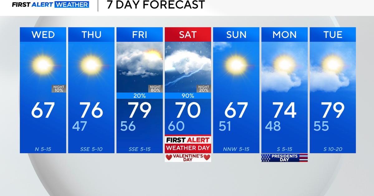
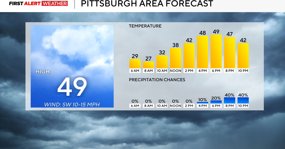
Another sticky morning with more sun than Wednesday has allowed temperatures to be a bit warmer. Highs will be in the mid 80s.
Thunderstorms are still expected to develop Thursday afternoon. Computer models continue to show a disturbance sliding through the region which would aid in storm development.
With a SW flow aloft, storms can trail over the region into Thursday night. With surge of rain to around 2" by late Thursday, any downpours can be heavy enough to cause localized flooding.
However, the bulk of heaviest thunderstorms at this time looks to remain north of BWI mainly from Philadelphia through Boston.
