WEATHER BLOG: So Close, But So Far
What a storm! The blizzard that pounded New England, dropped up to 40" of snow in Connecticut, topped out with wind gusts over 80 mph along the Cape and had a central pressure drop to 973.5 mb. This has brought mixed reaction to our area. Some are incredibly grateful it was to our north, while some are asking when we are going to get ours. Officially, we have received 4.6" of snow at BWI-Marshall this season. Our highest snowfall was 2" on Jan. 24. This is more than we had all of last year, with only 1.8" of snow for the entire season. Remember that our average seasonal snowfall is 20.1". For you snow lovers, there isn't much winter weather coming our way the next few days but the return of colder air could start upping our chances late in the week/next weekend.
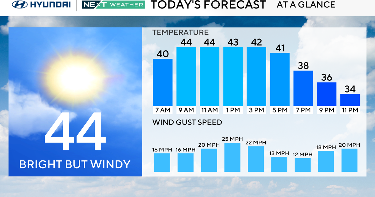
Sunday will feature sunshine giving way to some clouds as temperatures rebound to the average of 44 degrees. Another energized storm dumping snow across the Upper Midwest and sparking severe thunderstorms across the South will move our way to start off the work week. There is the chance that this storm could create a sleet, freezing rain, snow combo at the very start Sunday night. However, this storm is going to bring such a push of warm air that temperatures will jump to the mid 50s Monday--making this mainly a rain event again for us. In fact, rain will track much farther north this time around and that could create flooding in the areas that just got pounded with snow.
Rain will move away Tuesday, but cooler air will be slow to follow. We will top out close to 50 degrees before temperatures drop through the 40s in the afternoon. Then, another front will take a more southern track Wednesday and Thursday. Expect clouds to return here and maybe even a little rain/snow mix. Most of the moisture with this will pass through Virginia and the Carolinas, though. This stormy track will continue as colder air makes a return to the East.
