WEATHER BLOG: Rain And Snow Showers
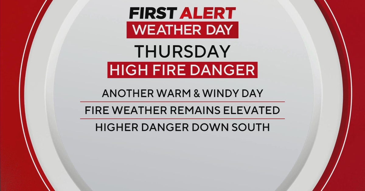
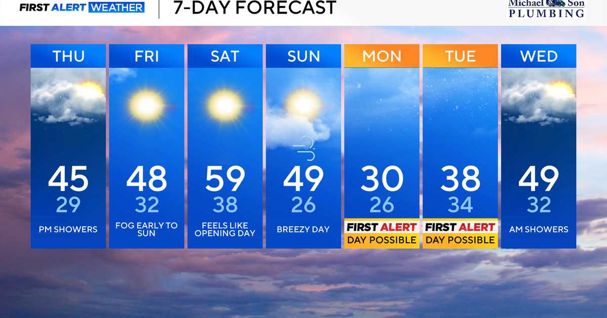
We need to mention spotty sprinkles or showers again Thursday afternoon. Otherwise short-term looks pretty much OK.
Temperatures have been able to reach the 50s across much of the Greater Baltimore Area the past couple of days, and it is likely that temperatures will return to the lower 50s (possibly even the mid 50s) again.
The sky should be no more than partly cloudy Thursday night, with most temperatures winding up in the 30s. The forecast for Friday indicates a hint of unsettled conditions because a weak front dropping out of the north later Friday may be just enough of a trigger to bring an afternoon or early nighttime shower to some places.
But, just like Thursday, most of Friday should be rain-free, and afternoon temperatures should wind up in the 50s.
The holiday weekend will be getting off to a bright start, because the ridge of high pressure that we've been talking about over the past couple of days is still expected to build into the Eastern Region late Friday night and on Saturday. There will even be a corresponding ridge in the upper levels, which will replace that very persistent trough axis that seems as if it has been hanging around for the past several weeks.
Because of the temporary shift in the pattern, Saturday afternoon's temperatures should reach the mid and upper 50s. And, depending upon just how rapidly clouds arrive on Easter Sunday, the temperature can reach 60 on some thermometers.
However, there are two other items of interest to be mindful of:
- The next weather system and front should lead to some rain in areas east of the Appalachians during the second half of Sunday and Sunday night, and
- A new trough in central Canada and the Great Lakes will try to dig into parts of the Northeast early next week.
