WEATHER BLOG: Potent Cold Front Approaching
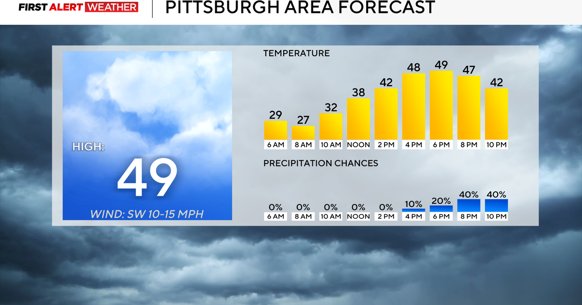
We'll be warming up this week. Tuesday will be very pleasant for early November standards as high pressure remains in control and begins to shift east.
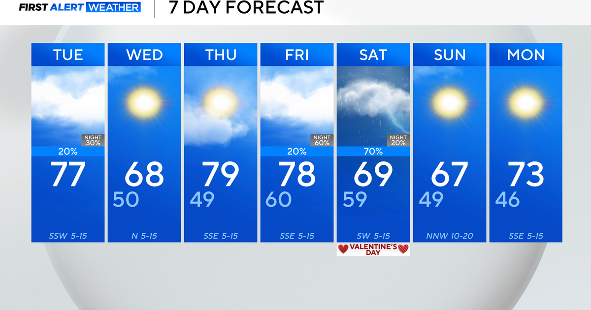
Highs on Tuesday will reach above average with the forecast in the mid/upper 60s. The same is expected for Wednesday with a blend of clouds and sun.
The forecast gets a little tricky by Wednesday night. A potent cold front will be approaching from our west.
This is expected to bring widespread rainfall to our neighborhood Thursday. We are still tweaking the details with this forecast but for now it is looking like anywhere from 1-2" of rain will be possible and flooding may be a potential concern.
Chilly and blustery conditions will return by the end of the week and weekend.


