WEATHER BLOG: Nice
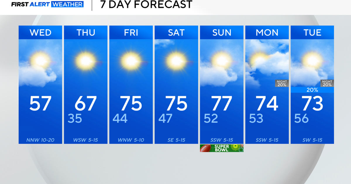
A nice weather pattern-- which we've been enjoying for much of the week-- only looks like it'll be every bit as pleasant Thursday and Friday.
While temperatures will be 3-5 degrees above the seasonal averages, there should also be a fair amount of sunshine Thursday.
Friday, the sun will probably begin to mix with some high, thin cirrus clouds -- but these shouldn't tarnish what will be a decent day along the I-95 corridor. The core of a high-pressure system early Thursday morning is located along the mid-Atlantic coast. The axis of this ridge of high pressure is poised to drift out into the Atlantic later Thursday, which will bring a light, southerly wind to most places in the afternoon.
And, even though there won't be a noticeable uptick in the humidity, most temperatures will wind up close to 80 in the typically cooler spots and 84 in downtown Baltimore.
Thursday night should be mostly clear, and many places shouldn't be quite as cool as they have been in recent nights. Friday's mixture of sun and clouds will be accompanied by temperatures in the lower or middle 80s again.
There were some additional adjustments made early Wednesday to the forecasts for Friday night, Saturday and Sunday -- these were based upon the concept that any kind of model solutions showing a cut-off low pressure circulation developing Friday over the eastern Great Lakes and the Ohio Valley were all being replaced by a fast-moving front.
The European model, for example, had an upper-level low lagging back across western parts of New York and Pennsylvania on Saturday morning. While other model guidance was hinting at the possibility that the next front could reach western New England by Saturday morning (an idea which we're now implementing), we were applying a cautious approach before speeding up the timing of that front, as well as the weather associated with it.


