WEATHER BLOG: New Storm Is On The Way
Just as we wrap up Sandy, a new storm is on the way for next week.
Sandy's main energy is still spinning over New England. It's very slowly moving away. At the same time, it is directing another storm off to our south Saturday night and Sunday. There may be a couple of showers clipping extreme southern Maryland or the Eastern Shore as it passes by, but that's about it. The combination of both these systems is keeping it cloudy and cool around here. We only topped out in the 40s Saturday. The average high is still 61 degrees. We will remain well below that average right into next week. One difference is that there will be some sunshine returning.
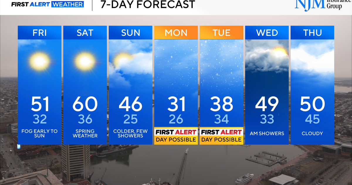
Clouds will mix with some sun Sunday and then more sunshine on Monday as the southern storm moves out to sea. However, the next storm will quickly follow. This next storm is NOT going to be Sandy, but something we need to pay attention to.
It is currently moving into the Northwest, will dive down the middle of the country Sunday and then cross the Gulf Coast Monday before turning up the East Coast as a nor'easter. It will move our way starting Tuesday night and continuing into Thursday. It will have gusty winds with it (significant but not as high as Sandy), coastal problems, and a rain/snow line that will migrate from western Maryland maybe all the way down to I-95. We will have more specifics as we get closer so make sure you check back in with WJZ, WJZ.com, @WJZweather (Twitter), and Bernadette Woods meteorologist on Facebook for all the latest.
