WEATHER BLOG: Memorial Day
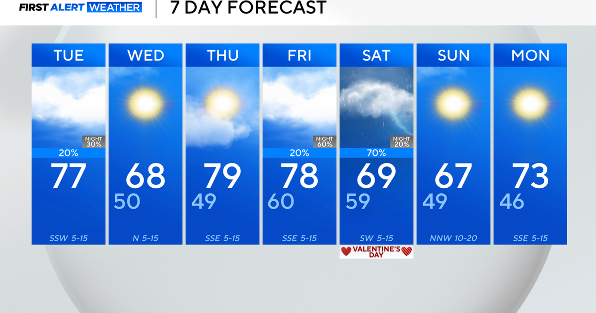
A summer-like pattern has taken over across the region, and that will continue for the foreseeable future. A surface high has moved east of the region, allowing a SW flow to occur at the surface. At the same time, a strong 500mb ridge has moved in, and this ridge will crest over the region this afternoon, leading to dry and warm conditions. Dew points will also creep up today into the 50s, but it will still be very comfortable.
Ridge axis pushes just off to the east on Tuesday at 500mb level and this day is likely the peak of our warmth and there could be a few pop up t-storms in the PM as well on Tuesday with the warmth especially west, along with higher dew points (into the 60s) and ridge axis now off to the East.
Another warm and humid day Wednesday but more active than Tuesday in the afternoon and evening as a frontal boundary approaches from the west. The front gets hung up clearing the area so it could lead to further shower and t-storm development heading into Thursday as well.
That boundary may stall around the region Friday into next weekend, so as of now, it appears to remain active into that time period with slightly cooler temperatures due to clouds and showers and storms around.
Happy Memorial Day!
