WEATHER BLOG: Dry Now...Rain Later
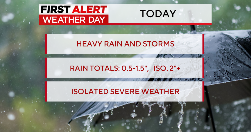
A few showers during the night have brought some welcome rain to the Greater Baltimore area, but most of these have been very light, only managing about a tenth of an inch. We still do have the potential for seeing multiple inches of rain during the upcoming weekend and early next week, but the global models still are showing some very different interpretations of just how the scenario will unfold later Saturday, Saturday night and Sunday.
But first, we'll focus on now. The regional radar mosaic early Thursday morning was still showing some of the spotty rain and drizzle occurring, mostly along the coastal plain from southern New England on down into southeastern Virginia.
Therefore, we should allow for a bit more rain early Thursday, probably until 6 a.m. at the Eastern Shore. However, with clouds expected to break for sunshine from mid-morning on, the temperature this afternoon should return to levels near or slightly above 70.
Obviously, Wednesday was much cooler than the two previous days -- and, even though we won't revert back to the kind of warmth that happened on Monday or Tuesday, most temperatures Thursday, Friday and even on Saturday will be 6-10 degrees above the seasonal averages.
There's going to be a weak ridge of high pressure that will be providing us with dry weather. In fact, there ought to be a fair amount of sunshine Friday afternoon.
On Saturday, we'll be watching a corridor of moisture approaching from the north and west.
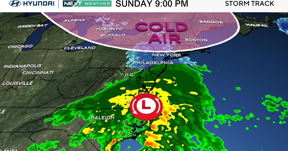
Even though there will be a cool front pressing eastward into upstate New York and northern New England later Friday and Friday night, a wave that will be developing along it should prevent any rain from reaching most areas east of the Appalachians, but during the day Saturday and especially Saturday night, there is more of a case which is being built now for having a few showers and even a thunderstorm or two in the forecast.
This is because an area of low pressure will be moving out of the Great Lakes and into eastern Canada, and it will effectively be dragging a cold front eastward to the I-95 corridor late in the day and at night.
