WEATHER BLOG: Cool Front Will Pass Through
#mdwx: After a pleasant weekend across much of the Eastern Region, the new work week is off to a great start as well.
Highs should top out in the low/mid 60s Monday. A cool front will pass through Monday night with high pressure building in right behind it, and that will allow temps to top out around 60 degrees on Tuesday.
Temps will rebound nicely by midweek into the mid 60s and then up to 70 degrees through Friday, so a pleasant warm-up is in the works.
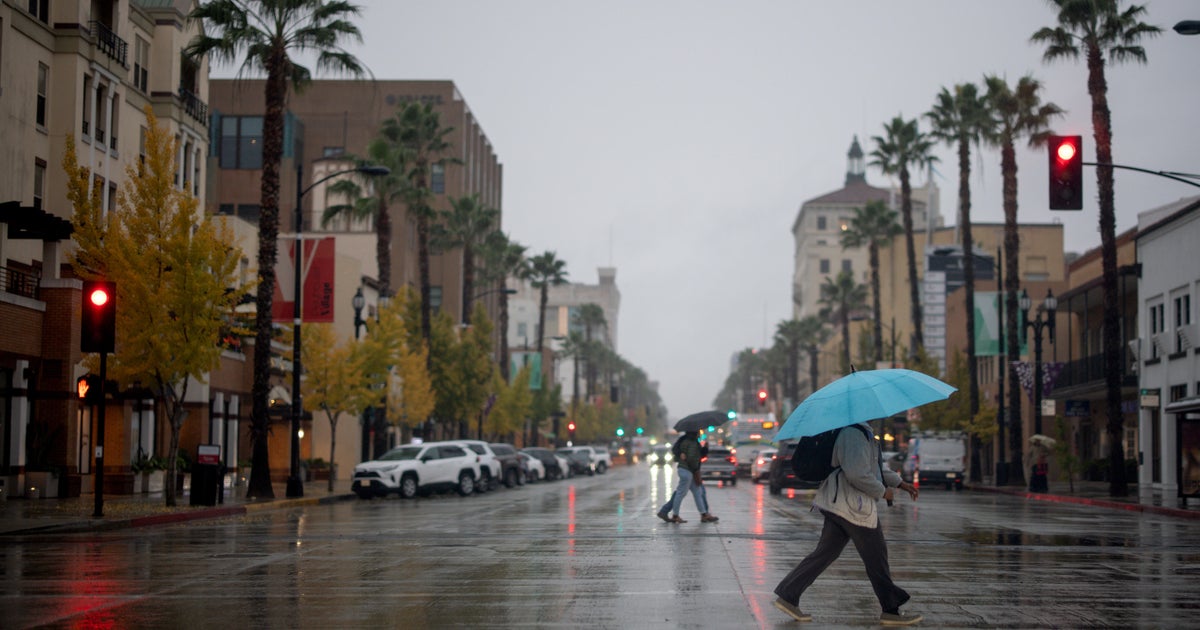
Another storm system will move in Thursday night into Friday. For now, things are looking dry for the trick-or-treaters with the bulk of the widespread rainfall pushing through overnight Thursday into Friday.
This is expected to be a notable rainfall event for us.
After the passage of this system and its associated cold front, temps will settle into seasonable norms by the weekend.


