WEATHER BLOG: Clouds Wednesday, Sun Thursday
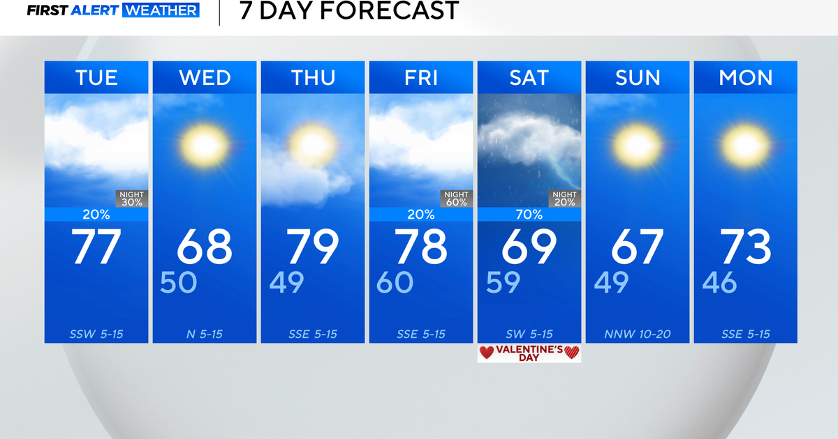
Clouds should manage to dim the sun at times around here Wednesday. That plume of moisture in the mid and upper levels will eventually be pushing off shore early Wednesday night, and the sky should become mostly clear late Wednesday night.
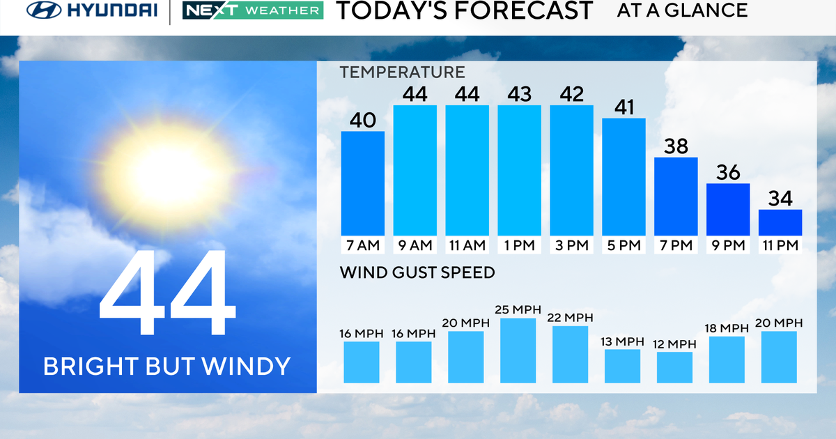
As for temperatures, our thinking still hasn't changed, and most will be in the mid 40s Wednesday afternoon.
Obviously, since most typical daytime temperatures at this time of year are in the lower or middle 40s, this is something climatology would tell us "we should come to expect" in mid December.
The rest of the forecast remains relatively unchanged.
The next wave of low pressure that has the potential to impact our weather over the weekend is going to be forming Thursday night and Friday in the middle of the country. As the leading edge of somewhat milder air presses eastward on Saturday night and early Sunday morning, there will be a warm front advancing into the Northeast.
Even though the low pressure system will be tracking across the Great Lakes (and well north & west), there should be a few periods of mostly light rain around here after midnight on Saturday night, which could last into Sunday.
