WEATHER BLOG: Bright ... For Now
The sky is clear early Friday, and most temperatures are in the low and mid 20s in the typically colder outlying areas and closer to 30 in most of the bigger cities.
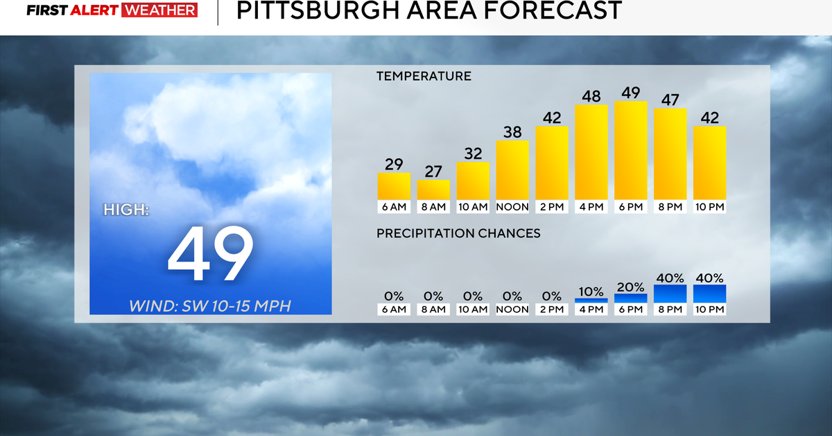
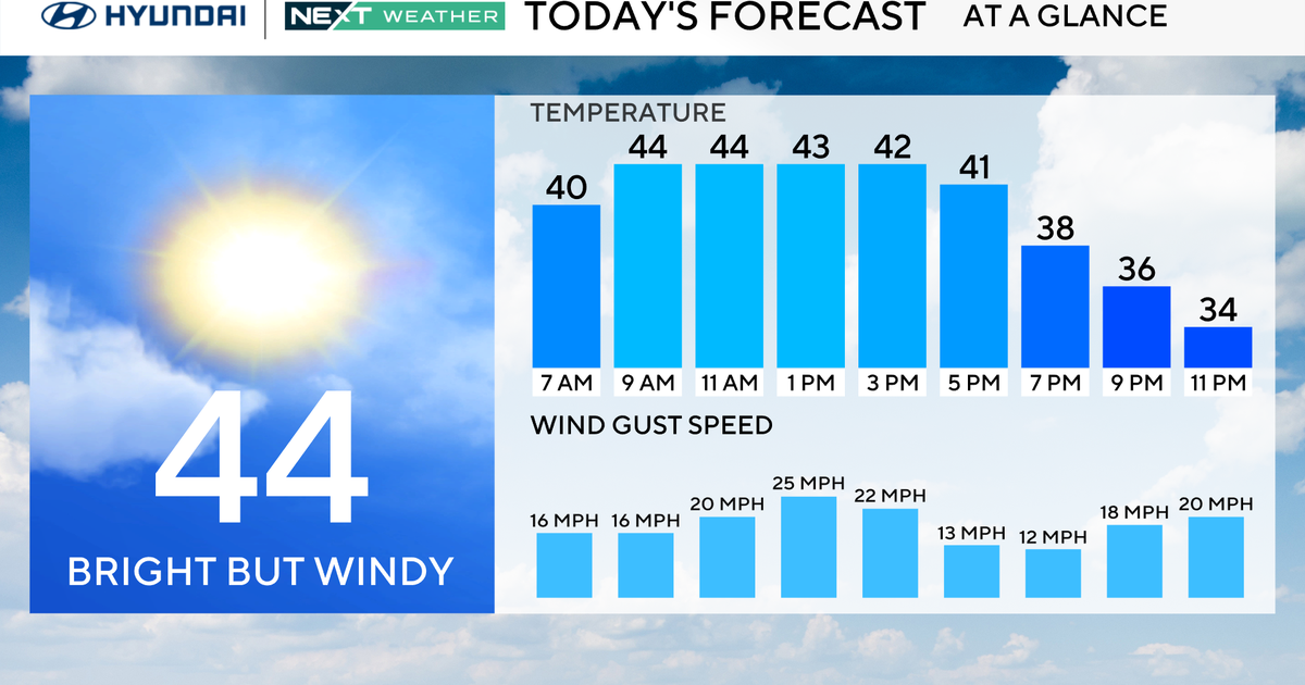
There will be a good deal of sunshine Friday with most temperatures in the low 50s this afternoon. The sky tonight will be clear to partly cloudy, with most temperatures in the 30s. The only exceptions will be some rural, interior areas.
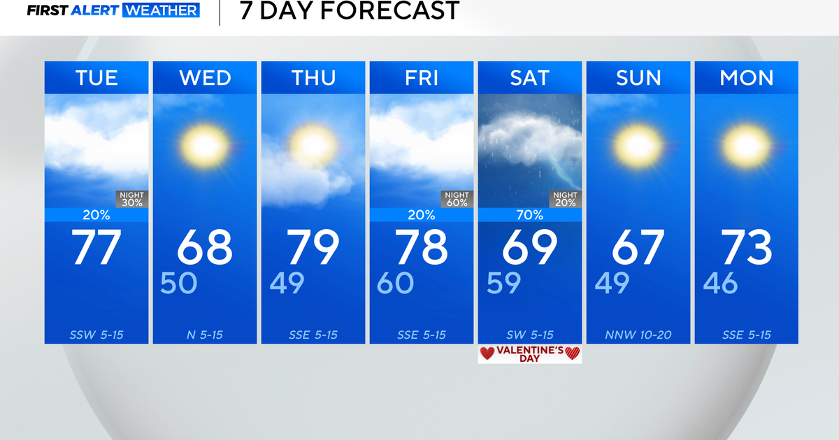
These places will wind up in the 20s again. High pressure is starting to make its slow move to the south, which will allow for the surface winds to become more southwesterly and/or westerly during the next 36 hours. So, most temperatures will be no lower than the lower 50s Saturday, even if the day ends on a cloudier note.
The cloud cover is probably going to be the key in determining how much of a boost temperatures will get. Whatever cloud cover there is late Saturday (probably not completely overcast), these will tend to lower and thicken Saturday night.
It is looking more and more like there will be some rain during Sunday afternoon's Ravens game.
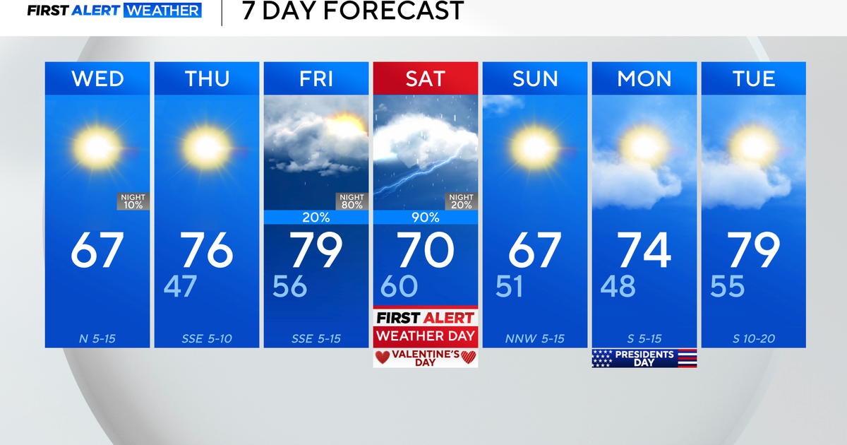
Adjusted timing of the rain in the Saturday and Saturday night time periods. Looks like it will be dry through Saturday afternoon and probably the evening as well, then a little rain will move in later at night.
As for Sunday, while it does not looks like a "deluge," it does look cloudy a cloudy and damp day with on and off rain and drizzle, certainly enough to get you wet if you're sitting out at a football game.
