WEATHER BLOG: Best Of Worst Case Scenario
Hi Everyone!
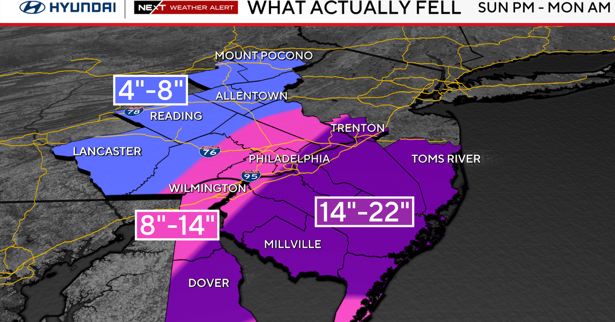
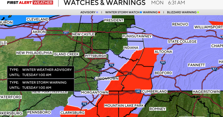
What a morning to watch weather develop. The Nor'easter got big quick, and pushed mild air a 3 1/2 hour drive Northwest from Ocean City. WOW! Because of that big "push" snow totals were limited to area directly Northwest of the Metro grid itself. Inches of snow. But at your home, let's say in Glen Burnie not so much so.
On a positive note we will not be dealing with blowing and drifting snow when winds do fire up later on. And let's discuss that real quick.
Just because the Low rolls up the coast, does not mean this event is over. It will fling clouds, and snow showers our way through tomorrow late afternoon. High winds are STILL a part of the forecast so standby for that. As I write this some power outages have occurred and we can expect more.
We have experienced the best case of a worst case scenario with this one. Looking in as opposed to being in the middle of VERY foul weather works for me. Every time.
MB!
