WEATHER BLOG: A Taste Of Winter
We have a taste of winter weather headed our way.
The storm is arriving in the form of rain Wednesday midday with temperatures well above freezing statewide.
As the center of this storm passes just to our south Wednesday evening, it will draw colder air into the storm and then northern half of Maryland will change over to snow.
However, we are in the 40s Wednesday afternoon and have been in the 50s the last two days. So when the snow starts falling, the roads are just going to be wet since the ground is warm.
But overnight, when the sun is down and temperatures are going to be just at or slightly below freezing, we have the chance for a small, slushy accumulation.
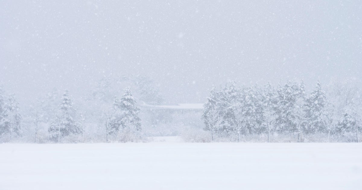
Most of the area will just see a slushy coating - 1" with some places across the far north may get 2". Western Maryland, under a winter weather advisory, will get 4" or more.
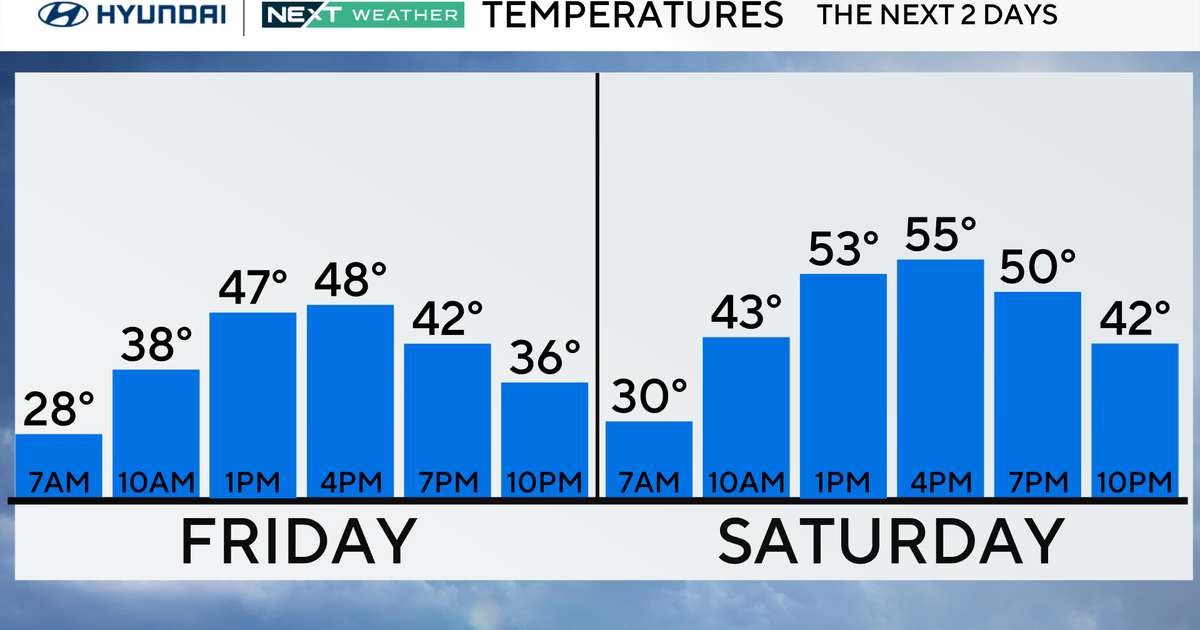
This storm will get out of here early Thursday. Sunshine will return and temperatures are going back to the upper 40s. We will stay above average Friday with highs back in the 50s before a new cold front comes our way Saturday.
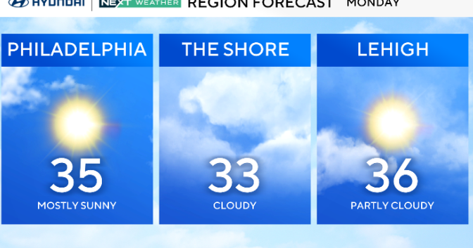
Saturday's cold front could produce a little mixed rain/snow Saturday night into Sunday. It will also bring in a much colder air mass. Highs will drop to the 30s Sunday and stay there on Monday.
