Round 2 Is Here: What You Will See In Your Neighborhood
BALTIMORE (WJZ) -- After a short break from winter weather, snow is once again falling in Maryland.
Related Link: It's Tough Going: Roads Are Snow-Covered & Slippery
Bob Turk reports a Winter Storm Warning is in effect through Friday morning for most of Maryland.
Check: Current Conditions
Timeline:
We could see another 1-3 inches of snow in some areas. Any precipitation should die down by 11:30 p.m. Thursday.
This storm will bring with it a variety of hazards and problems. There was snow at first... and a lot of it from the I-95 corridor - west. Places like Salisbury and the Ocean City are warmer, effectively changing all forms of precipitation over to plain rain out there, along with some strong wind gusts in excess of 35 or 40 miles per hour! The potential for flooding from rain and extreme sloppiness will be more likely on the Eastern Shore, along with the threat of coastal flooding at high tide.
This is what we expect for Baltimore and other places located north and west of I-95. Right now, there is sleet and rain in the area, but we'll eventually change back to all snow later Thursday afternoon. Another 1-4 inches are expected Thursday afternoon into the evening. Totals will average anywhere from 6-18" plus before this winds down. Totals may go down as we go along because of rain and sleet, which would compress the snow.
North winds will be 10-20 mph gusting to 30 mph. Expect blowing snow with visibilities 1/4 mile or less in areas through the afternoon. Winds are whipping!
Accumulations:
These are the snow totals we are seeing right now:
Pimlico: 15.0"
Westminster: 19.0"
Towson: 15.8"
Frederick: 18"
Reisterstown: 18.0"
Glyndon: 18.0"
Sykesville: 10.0"
BWI: 12.3"
Columbia: 14.0"
Bel Air: 10.0"
Rockville: 12.5"
Elkridge: 13.0"
Rosedale: 13.0"
Hereford: 12.8"
Catonsville: 11.8"
Our average snowfall in Maryland averages 20.1". This year so far, we have already received 27.5" of snow at BWI-Marshall.
Temperatures:
Temperatures rose into the lower and middle 30s Thursday afternoon.
Roads may be snow and sleet covered. Travel may be dangerous. Heavy wet snow could lead to some power outages.
Future:
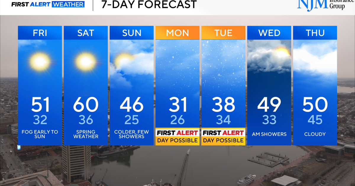
We could see another 1-3 inches of snow Friday night into Saturday.
Because many trees were weakened by last week's ice storm, it is possible that some remaining trees may not be able to hold the added weight and could fall, impacting electric service. Residents are advised to prepare for potential power outages and to conserve power as much as possible.
"It's been a long winter for many Maryland families. With the polar vortex, a bad ice storm and several snowstorms already this year, it's incredibly important for all Marylanders to remain vigilant and find smart ways to safely conserve energy," said Governor O'Malley. "Once again we ask our residents to be prepared, avoid travel if at all possible, and remember to keep an eye on relatives, friends and neighbors."
Residents should have a disaster supply kit with water, non-perishable food, a battery- or crank-operated radio and other necessities in case of an extended power outage. Now is also the time to make sure cell phones and other devices are fully charged in case of a power outage.
If you must travel in bad weather, make sure your car's battery, tires and wiper blades are in good condition and always have more than half a tank of gas in the car. Add a car charger, blankets and extra snacks and drinks to your car's supply kit, and if you must drive, make sure someone knows where you are going and your planned route in case you become stranded.
Do not leave pets exposed to cold and snow for long periods. If your pets must remain outside, make sure they have a dry shelter, plenty of food and drinkable (non-frozen) water. Do not put blankets or pillows in their shelter as they may become wet and frozen in a snowstorm.
Check: Radar & Maps | Blogs
Other Local News:

