Maryland Weather: Tracking Rain
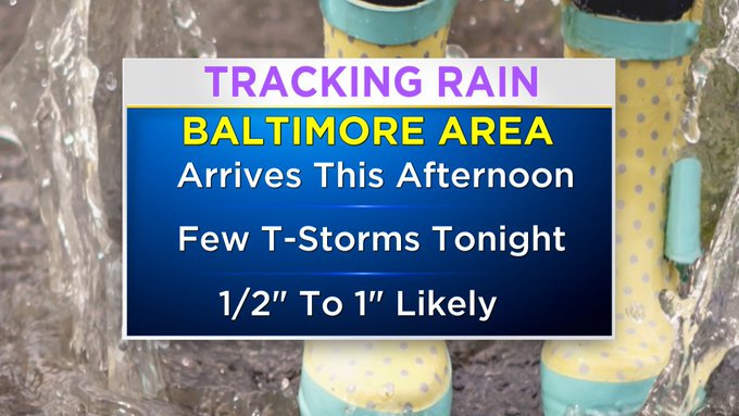
BALTIMORE (WJZ) -- Heavy clouds have settled in ahead of rain from a strong storm system that will bring us quite a soaking over the next day and a half.
Most of us will pick up a half an inch to an inch, but there is the possibility for some places to see closer to two inches.
While isolated flooding is possible, the threat is low because we've been so dry and actually need the rain.
 The wet weather will arrive in Central Maryland in the afternoon and pick up in coverage and intensity this evening.
A few thunderstorms are possible late tonight into very early Thursday morning.
Strong storms are possible but the severe threat remains well south of the Baltimore area.
The Storm Prediction Center has placed lower portions of the state under a marginal risk for severe weather.
That means of the scattered storms that are expected, an isolated storm could be severe.
The main threats are damaging winds.
We'll likely get a break from the rain during the day on Thursday before more showers move in by the evening.
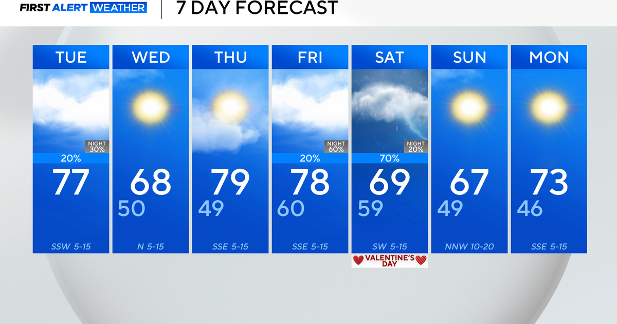
A blast of cold air is headed our way over the weekend.
A clipper system will dive down from the north bringing a chance for rain showers to the Baltimore Area and snow showers over the mountains of Western Maryland.
The winter-like system leaves us with bone chilling temperatures.
Sunday and Monday will only see highs in the upper 40s and overnight temperatures will plummet into the upper 20s and low 30s.
We're dry this morning but you'll need the rain gear by the afternoon. Wet weather is in store through Thursday!
There will be rain today which will become steadier and a bit heavier by the start of the afternoon/evening commute.
Temperatures this morning in the high 40s. This afternoon temperatures move into the 50s.


