Maryland Weather: Potential Nor'Easter, Bomb Cyclone Could Bring Snow This Weekend
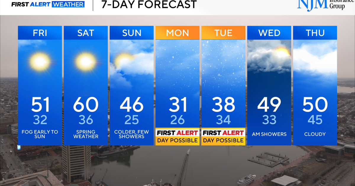
BALTIMORE (WJZ) -- The First Alert Weather Team continues to monitor the threat for a nor'easter as we end the work-week and head into the weekend.
Low pressure is expected to develop off the coast of the Carolinas and then rapidly strengthen as it brings impacts to the eastern seaboard before heading toward the Canadian Maritimes.
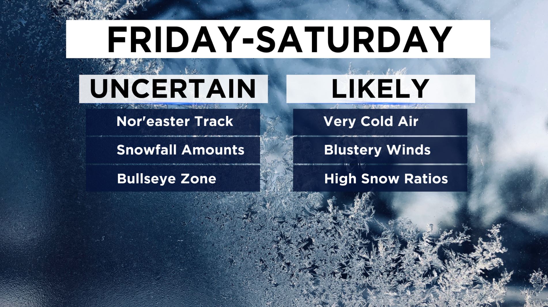
There is still a lot of uncertainty as we analyze computer model trends, however, some details are becoming more clear. It is still too soon to pinpoint the storm track at this time, and snowfall amounts and the bullseye area that receives the highest amounts will be dependent upon the track.
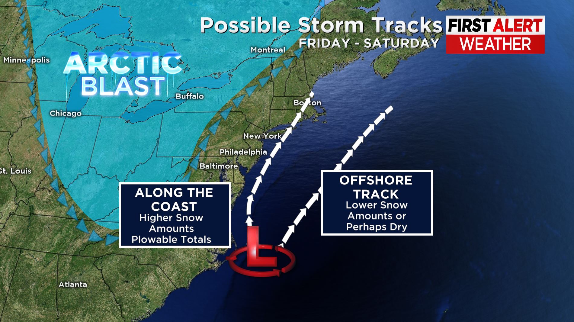
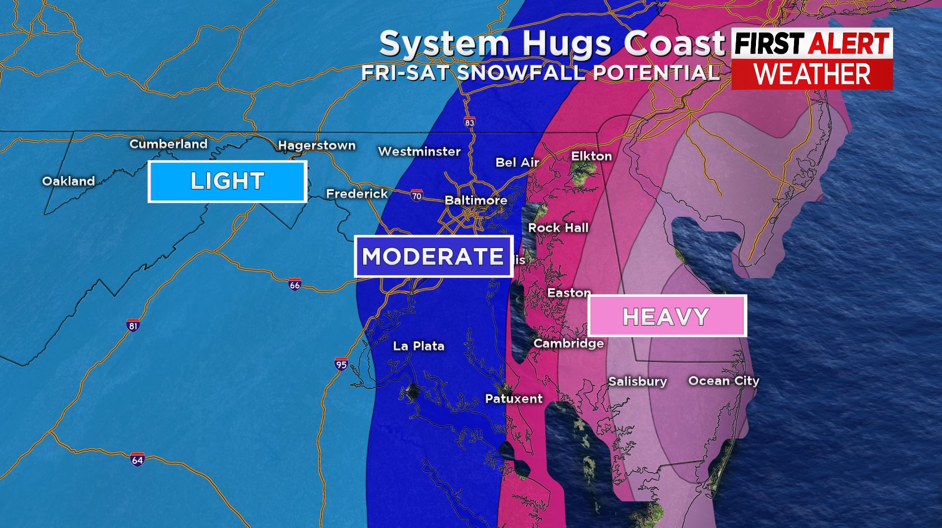
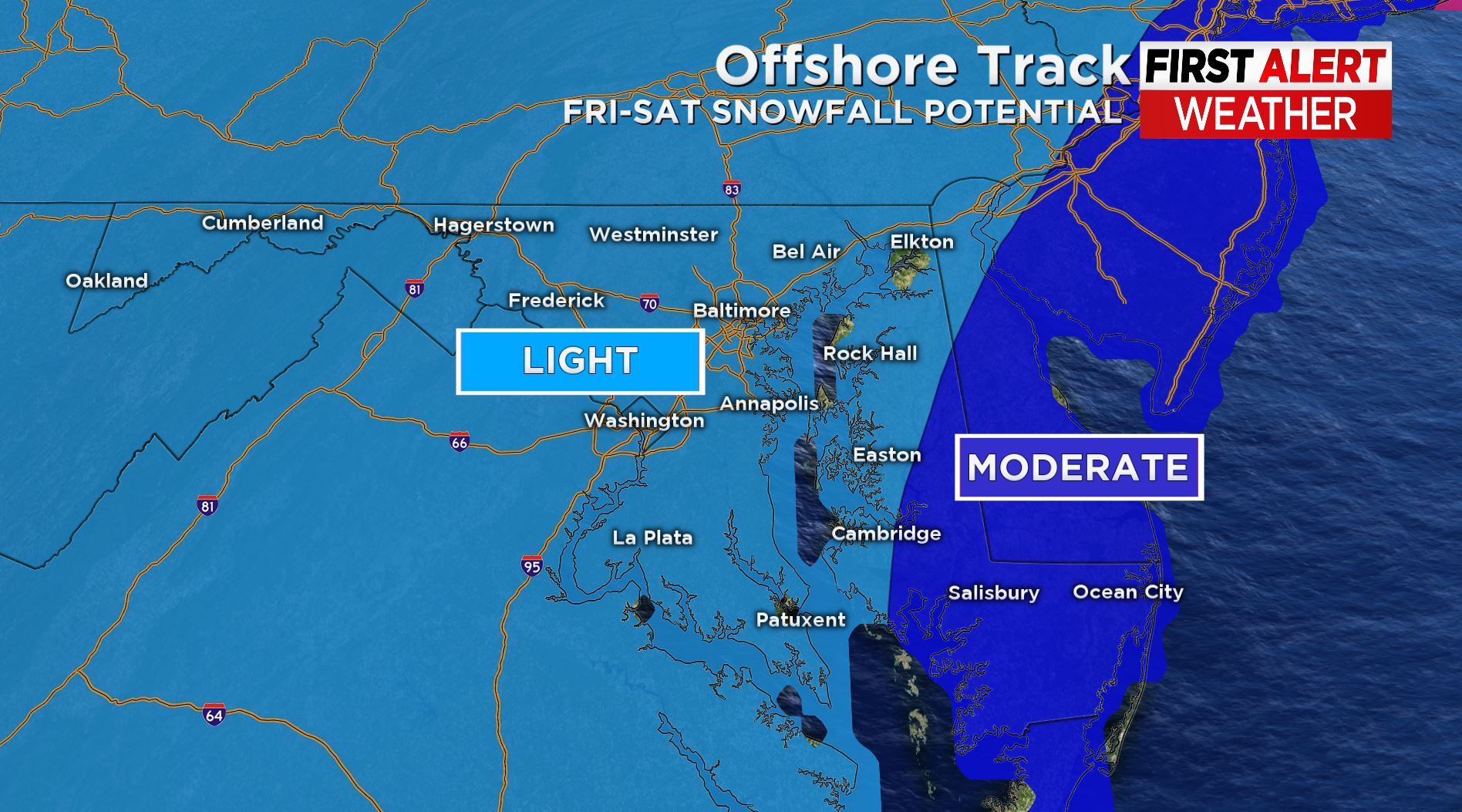
We have provided 2 possible storm tracks possibilities, one where the system hugs the coast, and another where the system takes more of an offshore route. If the system hugs the coastline, this will bring higher snowfall totals to the Baltimore metro area, with the potential of heavy snowfall for areas on Maryland's Eastern Shore.
If the storm takes an offshore track, totals are expected to be lower in the Baltimore metro, and it's entirely possible that Baltimore could stay cold and dry if the system tracks far enough out to sea. Even with an offshore track, folks along the Eastern Shore could still deal with plowable, moderate accumulations.
Models even signal the potential for explosive strengthening of this storm where it could undergo bombogenesis as the pressure decreases at least 24 millibars within 24 hours.
This would ultimately classify the storm as a 'bomb cyclone.' This will be a forecast to watch closely over the coming days. It's too early yet to issue a weather alert, and perhaps we will once we have more data and information to ingest.
For now, continue to check back for updates as there will be changes made and details added to the forecast, especially if this storm comes to fruition.
