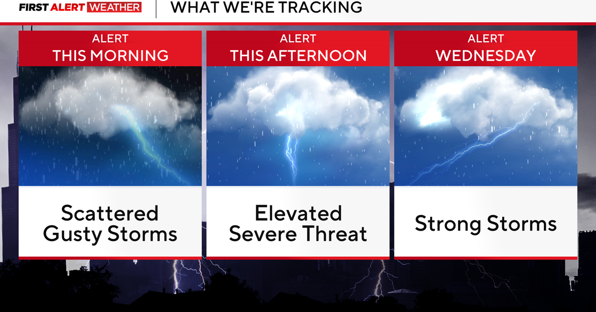
Maryland Weather: Alert Day on Tuesday for potential severe storms
BALTIMORE -- Expect quiet weather overnight with mainly clear skies and temperatures dropping into the mid to upper 70s. Tuesday will begin sunny, but scattered thunderstorms are expected to develop in the afternoon.
A WJZ First Alert Weather Day is in effect for Tuesday evening due to the potential for severe storms. Some storms may contain damaging winds, which will be the primary threat. Before the storms arrive, high temperatures will reach the low to mid-90s.
The storm threat will diminish by Tuesday evening, with partly cloudy skies expected overnight. Low temperatures will fall to around 70 degrees.
We'll be monitoring the remnants of Hurricane Debby, which made landfall in the Florida Big Bend on Monday morning. As it tracks north through the Carolinas, cloud cover from the system will begin spreading into the region by Wednesday.
There will be a chance of scattered storms on Wednesday afternoon, with noticeably cooler temperatures as highs only reach the low 80s. Clouds will thicken Wednesday night into Thursday, with a chance for a shower or storm.
As the main portion of the remnants of Debby moves northward, expect rain chances to increase significantly from Friday into Saturday. First Alert Weather Days are in effect for Friday and Saturday due to the potential for heavy rainfall, which could cause flooding in some areas. The latest projections indicate that rainfall totals could exceed five inches in some areas by early Sunday morning.
The second half of the weekend looks dry, with lower humidity and sunshine. High temperatures on Sunday afternoon will reach the mid-80s. The nice weather will continue into the first part of next week, with mostly sunny skies from Monday through Wednesday and highs in the mid to upper 80s. Lows at night will fall back into the mid to upper 60s.