Maryland Weather: A Transition From Mild To Frigid Friday
BALTIMORE (WJZ) -- Thursday was another above normal afternoon with a high of 47! Our normal is now 43. Friday will be a day of great transition, from mild to arctic!
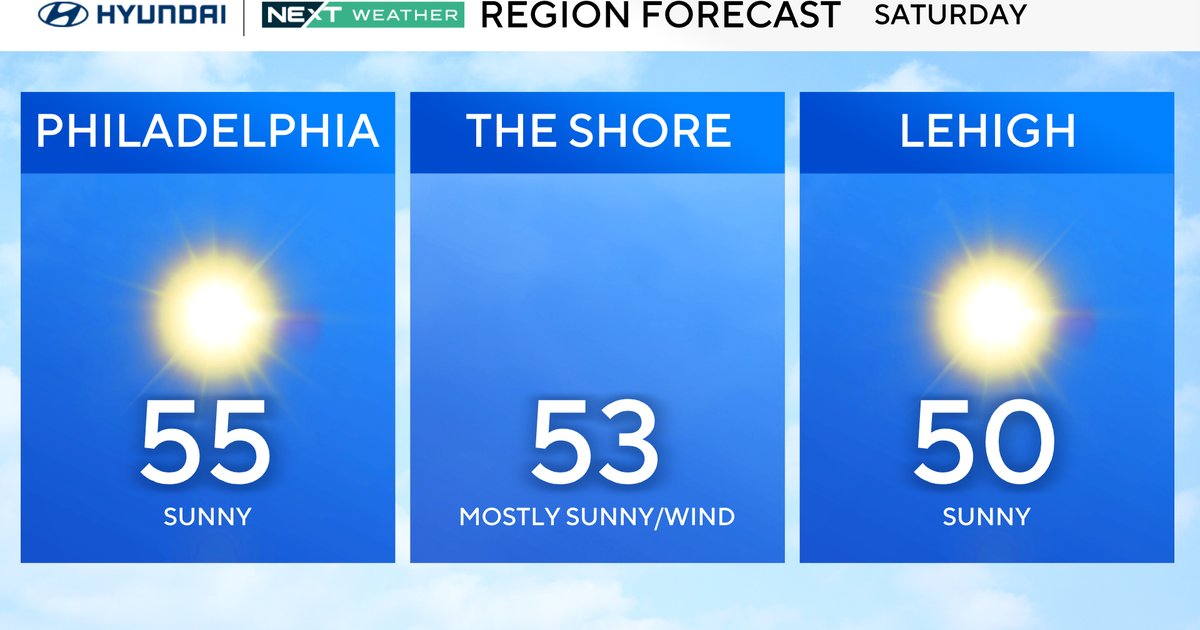
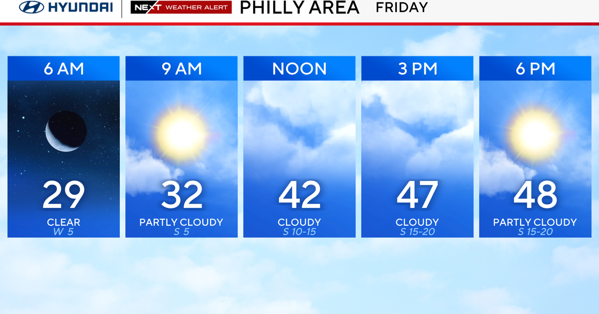
We will likely reach the low to mid 40's in the morning and afternoon before a cold front presses through the region and drops the temperatures throughout the evening and into the day on Saturday.
Lows on Friday night will drop into the teens once again, but wind chills will fall into the single digits. Sun and some clouds will be around both days before a winter storm moves our way later on Sunday. Cold air will be in place on Sunday night as an area of low pressure will begin to move our way and eventually cross close by on Sunday night into early Monday morning.
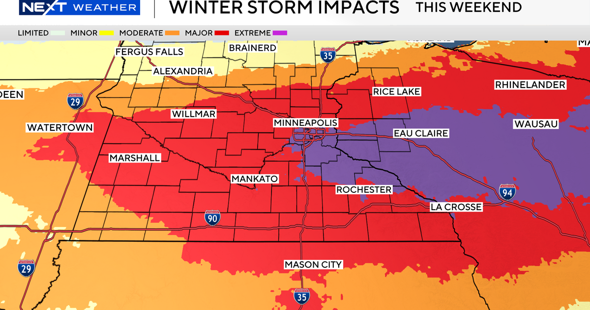
With plenty of moisture present, snow is likely to develop by late afternoon on Sunday. It may be heavy at times but some warmer air may change the precipitation to a mix of sleet. Some freezing rain and in places to the east, mainly rain.
Across Central Maryland, 3 to as much as 6 inches may accumulate, with more to the west and less to the east. A portion of far Western Maryland can end up with a foot or more, while places on the Eastern Shore and Delaware, may see copious amounts of wind-driven rain.
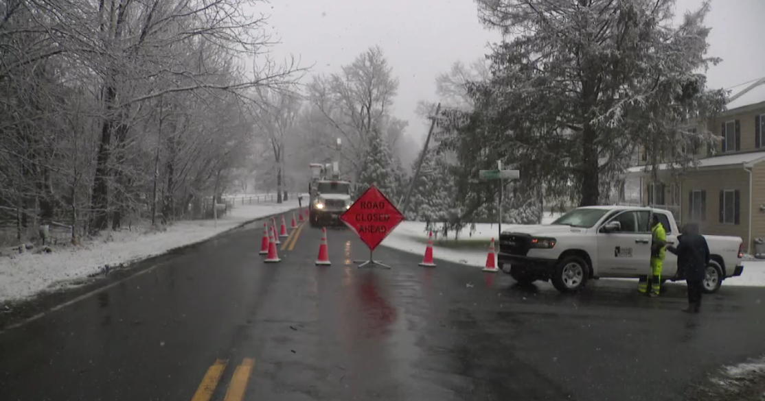
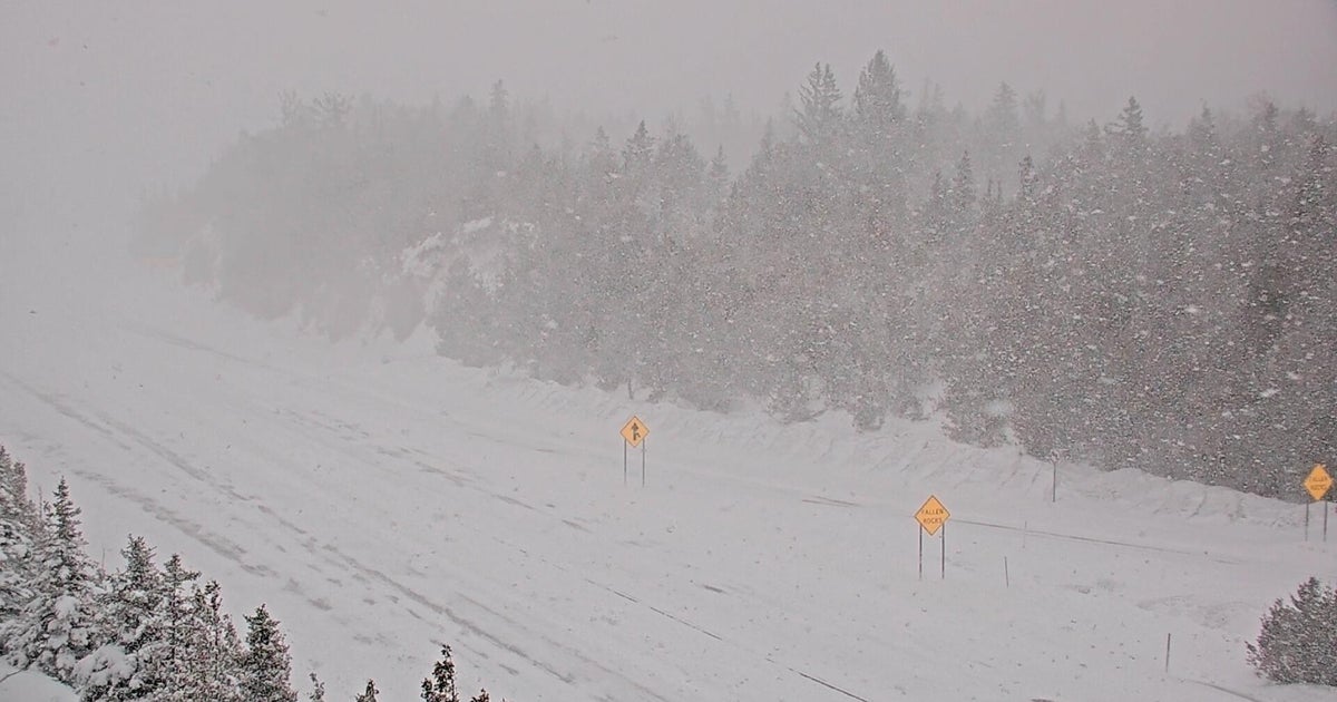
There will be some gale force winds on the bay and coastal waters, and some coastal flooding is likely in places. Winds can also cause blowing and drifting of any snow that falls, limiting visibility, and making driving very hazardous, especially in far Western areas later Sunday night.
By Monday morning, the storm center will move farther away, and some clearing is likely before noon, and temperatures may actually warm above freezing most of the day. The winds will still be a factor until later in the day. So in simplest terms, a very vigorous storm will cause a myriad of issues by Sunday night and Monday.
Please be sure to have an extra blanket and some food and snacks and water in your car, if you must travel during the storm.
We will be updating the storm impacts, and forecast during the next few days, as changes are very likely in the track and the forecasts.
