First Alert Forecast: Steamy then stormy this weekend
BALTIMORE -- This weekend will feature an abundance of humidity with the possibility of storms. Sunday's storms could be heavy.
The storms from earlier today for the most part have fizzled out. There could be a few isolated to scattered storms into the early overnight hours, but the trend will be for less and less storms. Some places picked up 1" to locally 4" of rain from the storms earlier this afternoon. The flood watch from earlier has expired.
Overnight looks warm and muggy with lows in the middle 70s.
Saturday appears to be the better outdoor weather day this weekend. We're expecting tropical heat and humidity with isolated storms developing, especially during the afternoon and evening hours. Highs reach near 90. Saturday has the least coverage of storms out of the weekend, but still a chance, so be ready to get inside if storms approach your neighborhood.
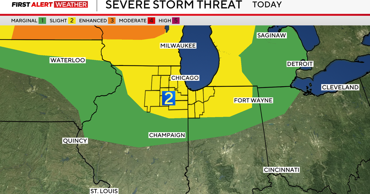
Sunday we're looking at numerous showers and storms developing as a trough of low pressure deepens and approaches the area. Right now, indications are storms could break out as early as the morning hours. If this happens, we'll have a limited to low severe weather risk as the energy to fuel sever storms will be suppressed. However, we'll see a higher flash flood threat as any storm could deliver a quick 1" to 4" of rain. If any area receives more than one storm, the threat for flash flooding quickly escalates. If we see any sunshine Sunday, before storms arrive, our severe weather risk will be higher. Stay tuned to future updates as we receive greater clarity on how Sunday's weather plays out.
Heat and humidity return full force much of next week. We'll see a small chance for some isolated storms Monday. Tuesday and Wednesday look hot and humid with highs into the 90s.
Storm chances building, along with high humidity, late next week. We'll be in for a fairly active pattern of afternoon heavy thunderstorms.


