BLOG: Weather By The Numbers
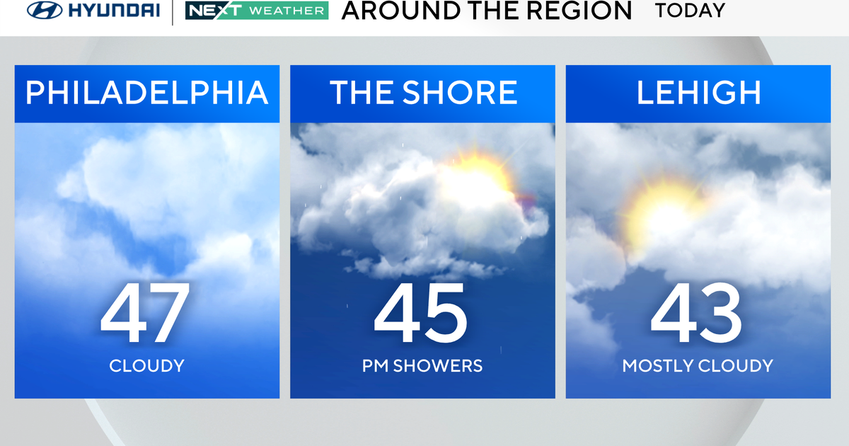
1. Rain overspreads the area Thursday morning and continues into the afternoon - most of the rain will be light-- totaling 0.20-0.40 in most places. Patchy fog will occur in the damp air.
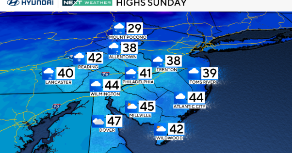
The day will begin dry as high pressure slides off the Atlantic Coast and low pressure moves from the Great Lakes Thursday morning to Ontario by evening. The low will summon moisture to the Northeast Seaboard causing mainly light rain showers to arrive later Thursday morning. Showers will continue into the afternoon. Temperatures will be mild for the season as temperatures peak near 50 degrees. The air may be cold enough well west of the I-95 corridor over the Poconos.
2. Rain will end Thursday evening, turning drier toward morning. A few showers will linger early in the evening then drier air will return on breezes from the west, causing showers to end shortly after midnight. Areas of fog will linger into the overnight but should clear toward dawn as drier air arrives.
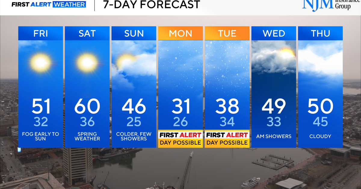
3. Dry weather and sunshine returns on Friday and remains through Saturday. Clouds will break up and sunshine will be plentiful as high pressure builds to toward the East Coast.
Temperatures will be about 5 to 8 degrees above normal. Clear skies will persist overnight as readings fall to near freezing. Skies will remain mostly sunny Saturday morning then clouds will increase as low pressure emerges from the Gulf of Mexico.
4. Risk for rain and snow later in the weekend.
