BLOG: Warmer Air On The Way!
There'll be some more springlike weather occurring this week, with Friday being the warmest out of the next three. It was in the upper 60s on Monday before that much talked about cool-down, which occurred yesterday. And now, after delivering us a "glancing blow," temperatures today and tomorrow will bounce right back. Highs this afternoon should be mostly in the mid and even upper 50s, although it'll be a little cooler in areas that in close proximity to the Bay. There should be no less than partial sunshine, since the leading edge of some milder air aloft has only had a history of generating some high, thin cloudiness across eastern parts of the Great Lakes and in the Ohio Valley.
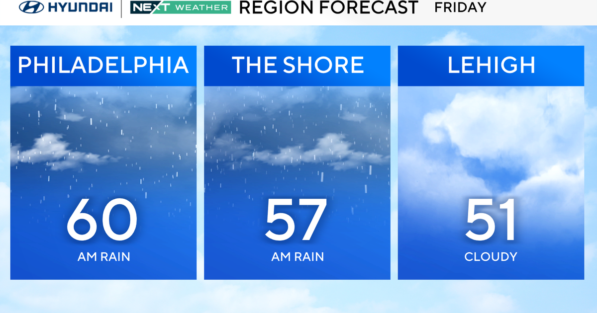
Highs will be mostly in the lower 60s tomorrow, and we feel more confident now that Friday will be very close to 70. While not quite a record for the date (still 5 degrees shy), it should actually be warmer than Monday was.
Some chillier air will arrive this weekend, and Saturday will be a rather windy day too. Folks who would probably prefer to be inside on Sunday to watch the Daytona 500 race can rest assured that it'll be cloudier and even a little colder. The front which will be arriving on Friday night / early Saturday should stall not too far from the south of the area, and it could be the focal point of some rain around here on Sunday or Sunday night.
Have a good day !
