BLOG: Warm-Up On The Way
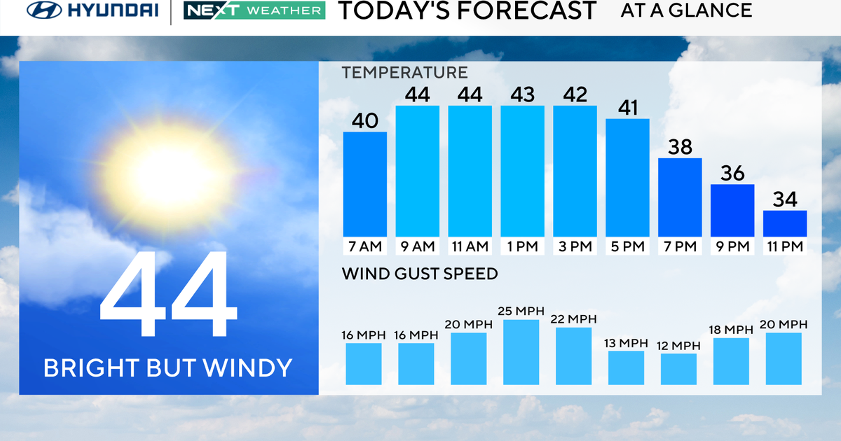
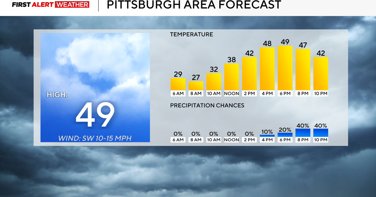
Early today, a front pushing offshore in the Northeast will be ushering in some noticeably chillier air and a gusty wind. Temperatures on the Veterans Day should be no higher than the low-50s this afternoon, which is about 5-10 degrees lower than in recent days.
There'll be an upper-level trough axis carved out over the Northeast for the next 36 hours, and it will finally start to relax later tomorrow night and on Sunday. Therefore, even though the sky should turn out mainly clear tonight with a diminishing wind, there should at least be a breeze returning tomorrow.
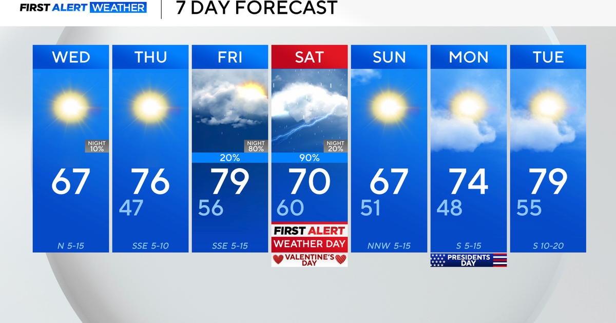
A ridge of high pressure is still expected to build across the eastern half of the country tomorrow night and on Sunday, and it will result in a warming trend that should last into early next week. Admittedly, the global models are still not even close to being in unison on Monday and Tuesday when it comes to timing the arrival of our next front.
So, for now, we're still trying to convey the message that a couple of showers could occur east of the Appalachians as early as Monday morning or as late as Tuesday (which is what the European is implying). The slower solution would also suggest that Tuesday could be a very mild day, with most temperatures in the upper-60s.
Monday will probably be no lower than the mid-60s too. But the peak in the temperature curve might occur on Tuesday-- if this next cool front takes until then to arrive. We're going to mention a couple of showers on Tuesday as well as Monday, but my gut just tells me that the most active time period around here is probably going to be on Monday night.


