BLOG: The Stormy Pattern Continues
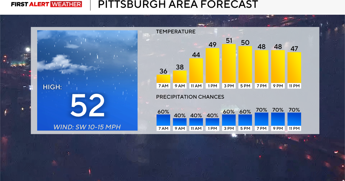
After a very wet few days, we are drying out this weekend. However, the same storm that produced all that rain is still spinning around just off to our north over the Great Lakes. It's not right over us, but close enough to cause the clouds we saw today and some rounds of clouds again tomorrow. The storm will finally head out to sea Monday, leaving us for good. Temperatures will be above average again tomorrow before a surge of cooler air comes in behind the storm on Monday. Even though it will be cooler, we are still talking highs near 50 degrees.
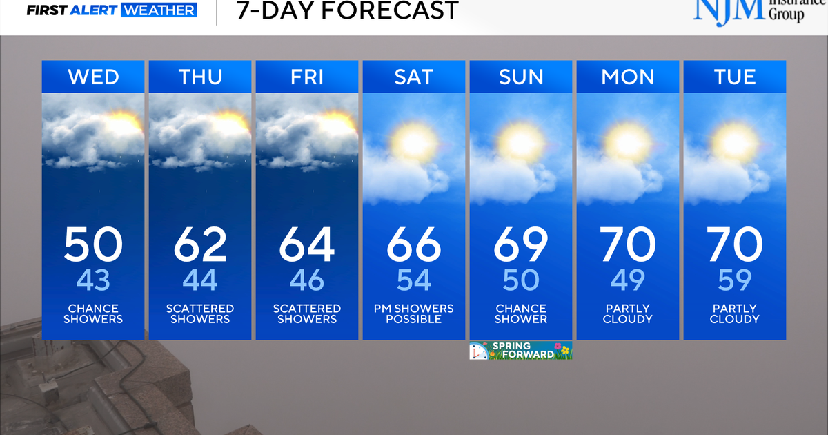
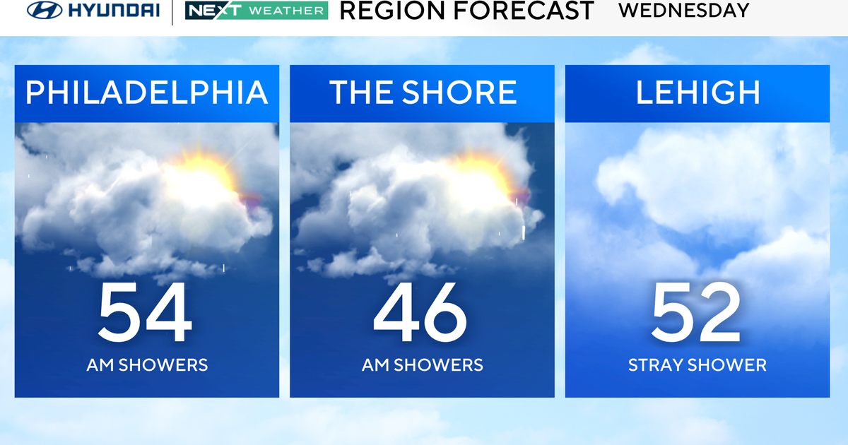
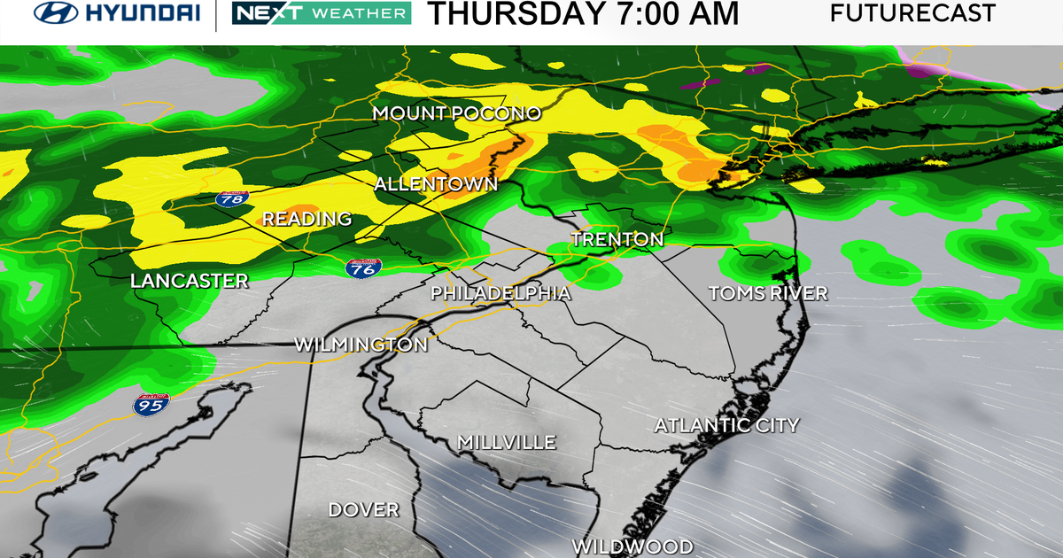
A new storm will move out of the Rockies on Monday and then head into the Tennessee Valley on Tuesday. It will not be nearly as big as the last one, but could bring us some showers on Wednesday when it swings through. Right now, it looks like that storm will get out of here for St. Patty's Day on Thursday. There are more storms lined up to move this way, so the stormy pattern continues. However, it does look like temperatures will try to go above average for the second half of next week - and that average will be up in the low 50s.
