BLOG: The Storm Is Coming
It's a slow moving storm, but it's coming this way.
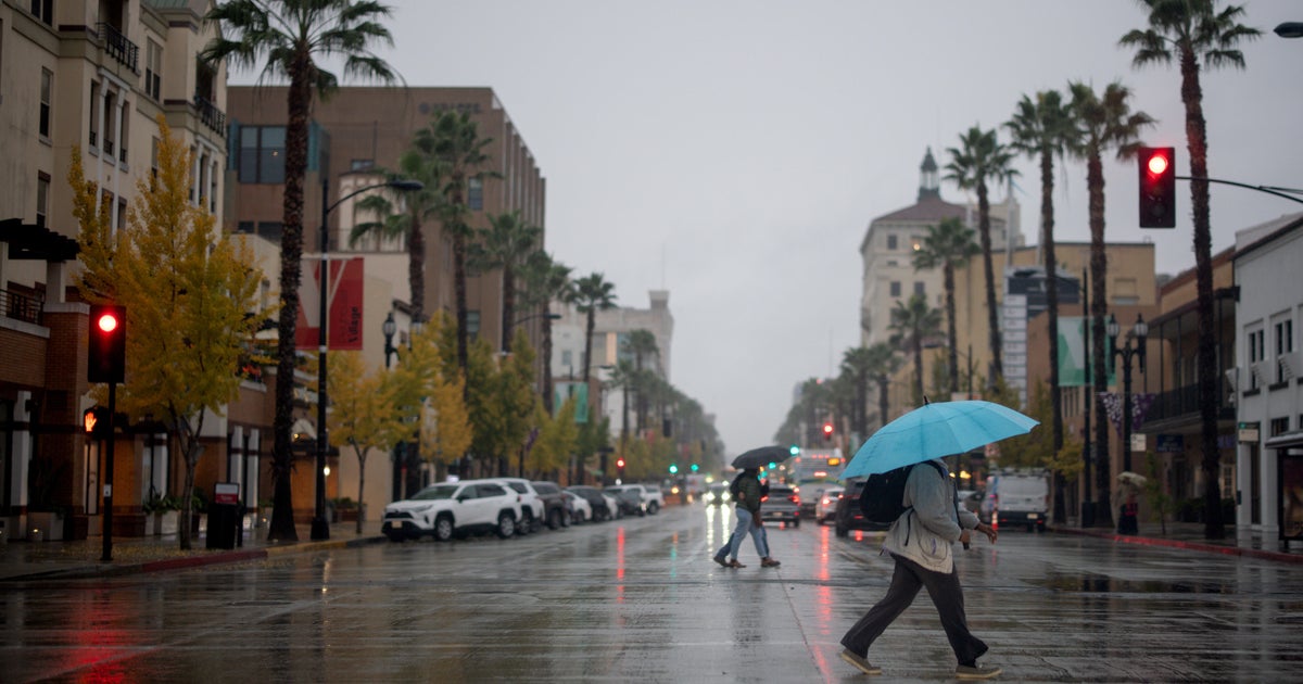
Clouds started to come in late yesterday and then thickened up today, now the rain is moving into Maryland tonight. The rain will slowly spread from west to east across the state overnight, and this is just the beginning. This is all part of a very massive storm system that extends from Canada down into the Gulf Coast. It has the history of flooding rain, and even severe weather and tornado reports on the very southern side of it. The rain and thunderstorms were big enough that they interfered with Mardi Gras festivities in New Orleans.
There are two different energy centers (low pressure systems) along this storm. One will pass north of us tonight, and then the second will move over us later tomorrow. The rain will begin overnight, but it's when the low passes over us that we will get the heaviest rain and even some thunderstorms. A flood watch is in effect from Frederick westward through tomorrow evening because of the rain moving this way in combination with the snow still melting.
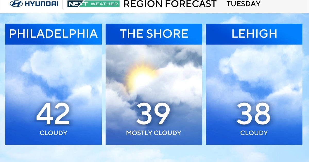
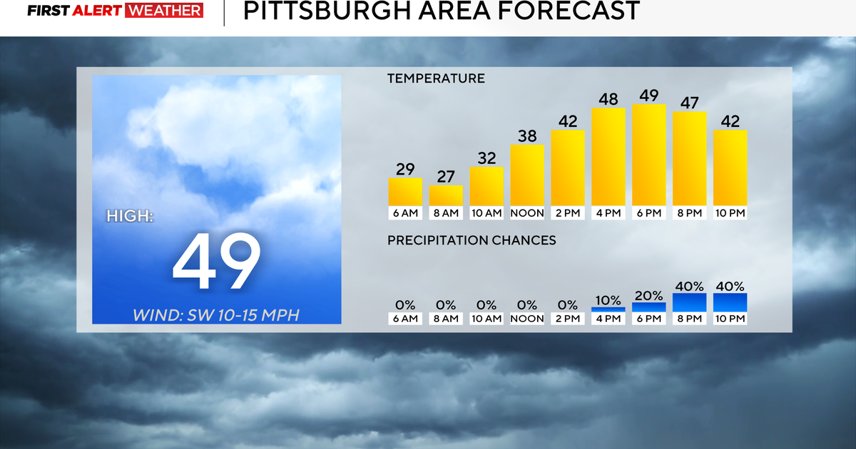
It will be mild until the front moves out early Monday morning. Temperatures will only top into the upper 40s tonight and then top out near 60 tomorrow. However, even the cooler air behind the front is not that harsh. Highs will still be close to average - and our average has just risen to 50 degrees.
Another slow-moving storm will move our way later in the week. Clouds will start to come in Wednesday and then the rain will follow Thursday and Friday.

