BLOG: The End Is Near
This has been an incredibly wild storm. I'll admit, I underestimated its strength. It really featured a little - no, make that a lot - of everything all around the state. But as of this writing at 10:30 p.m., the end is in sight.
The timing of the first round worked out well, but there was definitely more moisture with it than we thought. Snowfall amounts were generally 1-2" in the city, 2-4" in Baltimore, Carroll, Frederick, Harford and Cecil counties. Meanwhile, the rain line slowly edged northward through the state. Snow mixed with sleet and then changed to rain in the city between 9 and 10 a.m., but didn't fully make it northwest of the city until the heaviest of the first round was gone.
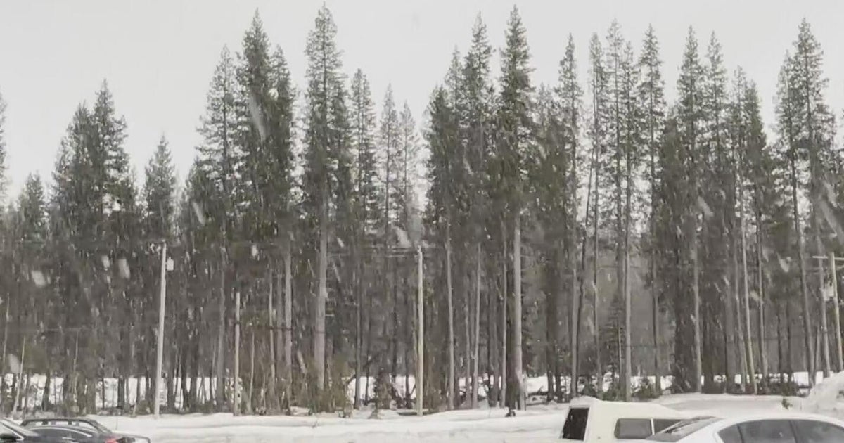
Other than extreme western Maryland, most of us did get above freezing during the middle of the day with some drizzle falling. That created a very slushy mess. One that set us up terribly for the evening commute. Because just as that commute got underway, the next round of heavy precipitation arrived. It moved up from the south at the same time that the cold air was coming in from the west. Heavy rain and thunderstorms in the city quickly and dramatically changed to a sleet/snow mix and then eventually all heavy snow. The slush on the roads immediately started freezing and the snow accumulating. Havey snow came down for 4-5 hours, with about 2 hours of on and off thundersnow. If you didn't get a chance to see it, you missed a wild sight. You may have even heard it in your house but didn't really believe that it was thunder - but it was. This is when we got most of our snowfall accumulation. For a complete list of snowfall totals, go to these links: link one, link two.
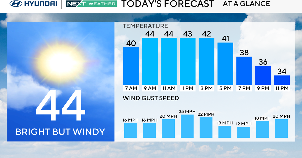
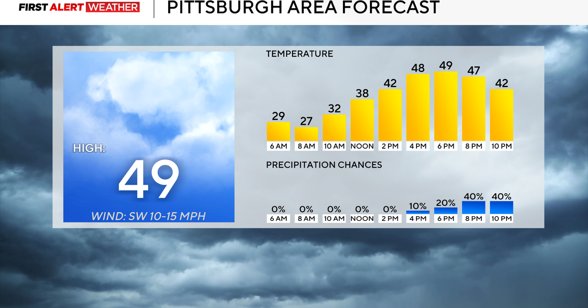
The storm will leave overnight, and there will even be some clearing by the morning. However, temperatures will be below freezing, so untreated roads will still have snow with layers of frozen slush on them. We will get above freezing tomorrow afternoon with a high of 36 degrees. Combine that with some sunshine, and there will be some decent melting. But temperatures are going back down below freezing again tomorrow night.
A quick moving clipper storm will pass by Friday that could have some light snow or snow showers with it. Another storm will swing through Saturday into Sunday, again with the chance for some light snow or snow showers. Then, we will wach for a bigger storm early next week. But this one will be different - it looks to be more of a rainstorm for us.
Be careful if you are heading out tonight or early tomorrow. And make sure to clean off your cars.
