BLOG: The Cold Is Here
The cold is here, and it's not going anywhere anytime soon.
The weather pattern has changed for the cold, and it's to stay that way for a few weeks. We made it to 42 degrees for a high today after starting out in the 20s. We are going right back down into the 20s again tonight, then may not even reach 42 degrees in the next five-day forecast. Just a reminder, our average is down - but it's still only 50 degrees. So we are going to be way below average for a while.
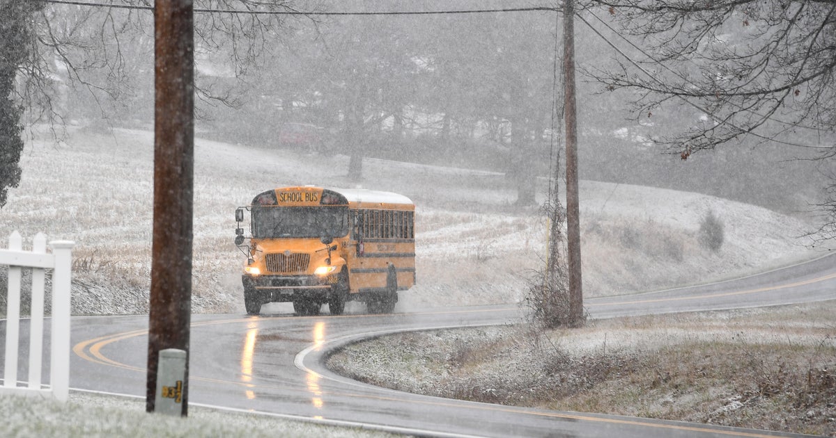
A strong Clipper storm is scooting by Maryland - taking a track down through the Ohio Valley then cutting east through Virginia and the Carolinas. It's close enough that we could get some flurries or light snow as it passes by tonight into tomorrow, but there is accumulating snow in the Carolinas with this.
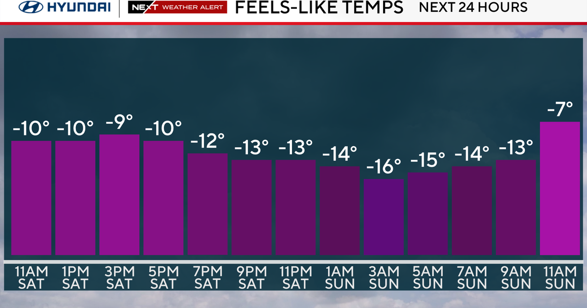
By nature, Clippers are fast moving storms that bring a shot of cold air and kick up the winds. Even though the brunt of the storm will pass south of us, we will get in on the cold air and gusty winds. Winds will increase overnight, then remain high tomorrow. Expect sustained winds of 15-25 mph with gusts 30-35 mph. This wind will be out of the northwest, bringing in a new round of even colder air. Highs tomorrow will top out near 40 degrees, then will not get out of the 30s Monday through at least Thursday.
At the same time, a very strong lake-effect snow event will start tomorrow and continue through Wednesday. That will lead to accumulating snow on the mountain slopes of western Maryland. In fact, a winter storm watch goes into effect starting late tomorrow through Monday night. Some of the lake-effect snow bands will be strong enough that, although they will weaken, flurries will make it all the way down to the Baltimore metro area. Otherwise, we will be in and out of clouds from the lake-effect bands.
If you are going to the game tomorrow night, dress in very warm layers. It will be windy and cold with temperatures in the 30s for kickoff. And remember, have fun and stay safe!


