BLOG: October Ends
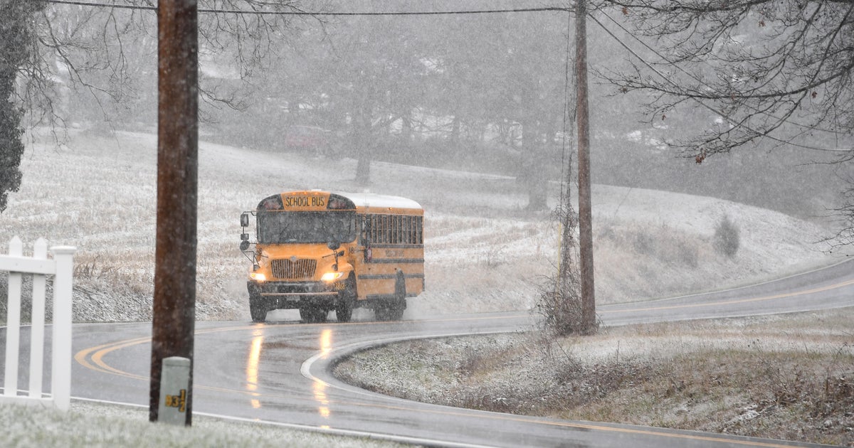
A much less active day to end the weekend across the Northeast as high pressure filters into the region, and with sunshine temperatures will approach 50 degrees in the afternoon. In areas with snow cover it looks like we'll be able to do quite a bit of melting... though temperatures will accordingly be a few degrees cooler. Accumulating snowfall yesterday was pretty much confined to areas north and west of the city with 2-4 inches pretty common from just north of Gaithersburg to Westminster. The big "winner" in Maryland was in the Blue Ridge, with the town of Sabillasville picking up 11.5 inches of heavy, tree-crushing snow, thankfully that mess didn't make it farther southeast.
Looking ahead to next week, not a lot to get excited about if you like an active pattern, though there are a few potential wrinkles which may present a couple of rain chances. The first of which could come on Tuesday as an upper-level trough crosses through the Mid-Atlantic with a coastal front located to the south. As the upper-level feature impinges on the coastal front we should see low pressure develop along that boundary and then track northeastward. It appears at this juncture that the entire system will be far enough to the east as to keep the Baltimore metro dry... but that's not certain. For now we'll keep it dry and it's worth a mention of clouds and a little rain possible across the Eastern Shore. The farther west one goes the more sunshine will be had, so not a bad day for the Hagerstown area.
Have a great day!

