BLOG: More Storms Approaching
We missed one storm, but there are more lined up.
We had clouds and just a few flurries overnight through the morning, as a large storm passed us just offshore. It is bringing wintry weather to coastal New England, but was far enough east to avoid us. That storm is still impacting the overall weather pattern, though. It's going to kick up our winds out of the northwest through tomorrow evening, and that will bring in a new round of cold air.
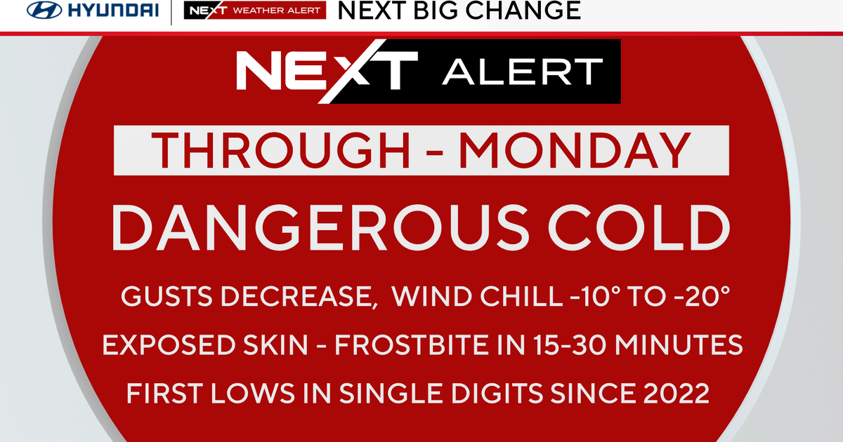
Not that it ever really warmed up, but temperatures are going down a few degrees the next few days. We are expecting a high near freezing tomorrow, with the wind chill making it feel like it's in the 20s. When the wind dies down tomorrow night, temperatures will drop into the teens. On Tuesday, we are still only topping out in the low 30s. At the same time, a dying storm will move our way Tuesday into Wednesday. It will bring in clouds, flurries, and the chance for just some light snow around here. However, when it gets out of here later Wednesday, it will connect with yet another round of cold air for the end of the week. And that's where it gets interesting...
There have been a few big storms hammering the west coast and then making its way across the country. Although they have been taking different paths, the computer models continue to support the idea of storms moving eastward - while the cold air keeps getting reinforced. Now, it's still nearly a week out, but there are signs that one of these storms could hang together over the middle of the country and move to the East Coast just in time for the holiday weekend. There are way too many factors that still have to come together for this to actually happen, but it is an option on the table right now - and with so many people focused on so much else this week, we want to let you know the possibility now.
Stay tuned to WJZ and WJZ.com throughout the busy week because we will be watching this one closely and keep you updated


