BLOG: Mild And Dry Holiday Weekend
Now that its obvious that there will not be a storm impacting the region during the upcoming Christmas holiday weekend, the sky cover and temperature forecasts are all that are left to challenge us. A decent shot of arctic air currently located in eastern Canada will be unleashed on northern New England Friday night and Saturday.
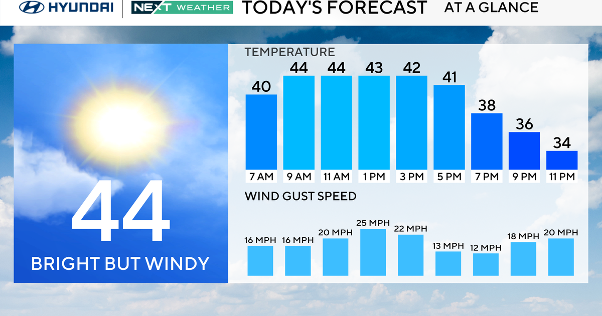
However, the big, coastal cities located between southern New England and the Mid-Atlantic region won't be feeling the 'biggest impacts' of this cold surge, which will bring temperatures no higher than the 20s to northern portions of Maine, Vermont and New Hampshire. That being said, most temperatures tomorrow afternoon will be in the lower-40s-- and that's still a kind of chill we haven't been exposed to very often (with the last two Sundays being noteworthy exceptions!).
While there will be enough instability generated by the much colder air to yield some snow shower activity in northern and eastern New England tomorrow, the rest of the region will have dry conditions-- which is important for those who have plans to travel Saturday (and plan on reaching their holiday destinations by Christmas Eve). High pressure is expected to be the driving force behind the weather late tomorrow night and on Christmas Day, which will offer no less than partial sunshine.
Temperatures on Christmas Day should be close to 50. Although most of the models show another front pushing from the north late on Sunday night and early Monday (while the "much talked-about storm" from earlier this week slides out to sea via the Carolina Coast), there really won't be much of an impact on temperatures around here. At most, temperatures on Monday afternoon will be a degree or two lower than Sunday's.
