BLOG: It's Still Warm And Muggy
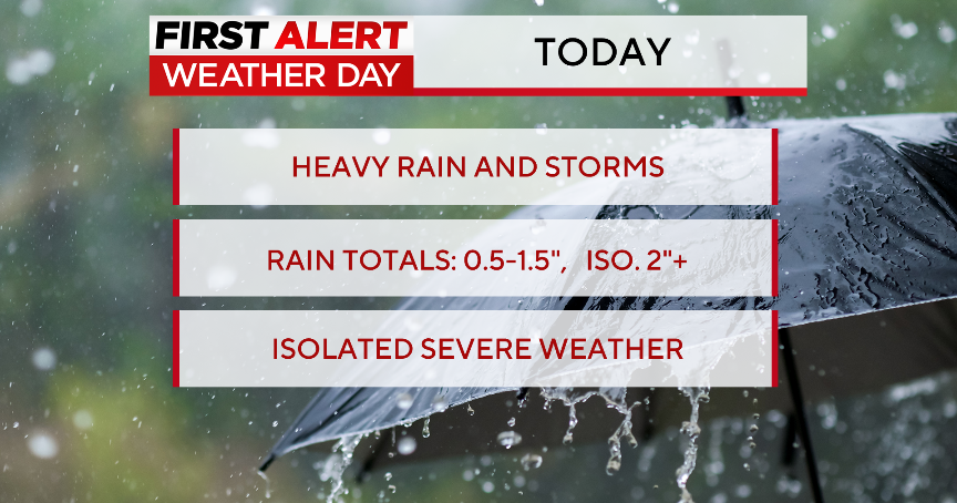
The heat has backed off from the peak earlier this week, but it's still warm and muggy. Add a stalled front to this air mass and you get the showers and thunderstorms that we are seeing outside today.
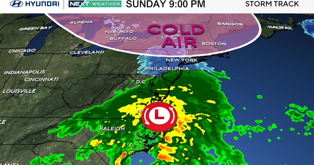
Some of the thunderstorms have been strong across southern Maryland, producing high winds and even some hail. These storms have also put down a lot of rain. The majority of the storms will wind down overnight, but there could be a few showers or even a thunderstorm lingering as a new cold front slowly approaches the state. This front will move through tomorrow, so there will likely be another round of scattered showers and thunderstorms before it clears us. When it does, you will definitely notice the difference.
Much drier and cooler air will move our way Monday and stick around for a few days. Highs will still top out near 80 degrees Monday, but the dewpoints/humidity will be much lower. This cooler air will hang around Tuesday as a new little weak disturbance swings by. Sunshine will give way to building clouds and maybe a shower or two Tuesday afternoon as highs struggle to get to 80 degrees. We will still only be close to 80 on Wednesday, this time with the sunshine taking over again.
A new round of showers and thunderstorms will move our way with a new storm Thursday and Friday. Temperatures will also start climbing again later in the week.
Have a great weekend everyone!
