BLOG: It's Friday!
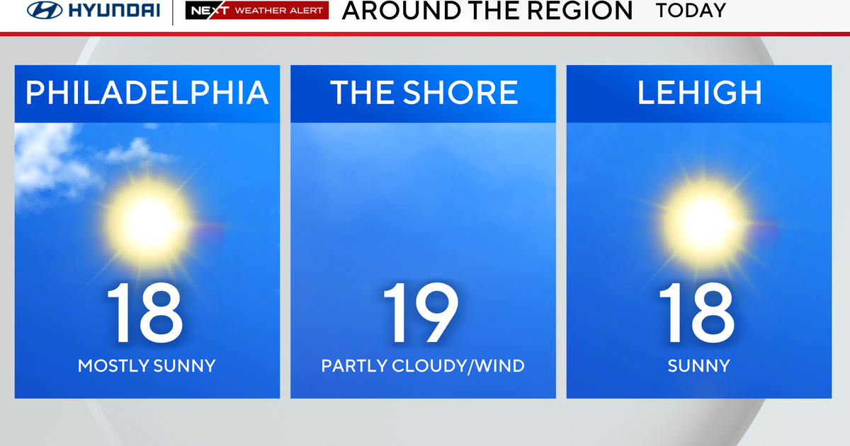
The day is getting off to a clear and relatively chilly start, and there will be a good deal of sunshine for a while. This will tend to fade behind increasing clouds this afternoon. A glance at the regional radar mosaic is showing a widespread corridor of showers early today that extends from Michigan southward into the Tennessee Valley -- this is occurring because there's a vigorous impulse of jet stream energy (an upper trough) is moving through the region, and that will manage to press to the Eastern Seaboard by early tonight.
Therefore, we should see a couple of scattered showers and a thunderstorm either very late this afternoon or (most likely) tonight. Dry weather should prevail tomorrow with highs in the lower and middle-70s. But as yet another disturbance which will be forming in the central Plains late today and tonight begins to streak eastward tomorrow night and on Sunday, there'll be another round of showers heading in our general direction. The bulk of these should occur on Sunday, and then we will be drying out Sunday night.


