BLOG: Huge Warm-up Coming
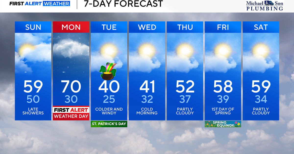
Yes, we actually saw sunshine today! It hung on for most of the day before clouds thickened through the afternoon. With the sun out, we warmed up considerably from where we've been lately. However, even though this was the warmest day in a while, we only hit 59 degrees and the average is now 60. So it was close, but that makes it the 12th day in a row that we were below average. If you like the warmer air, then hang on because there is a huge warm-up coming our way tomorrow.
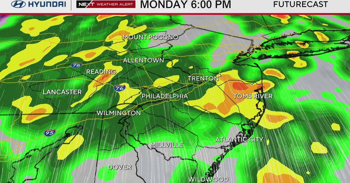
A very large and strong storm is making its way through the middle of the country. It's centered over Iowa with a warm front draped through the Great Lakes into Maryland. That's what brought our clouds in today and is causing spotty rain and showers tonight. The cold front extends down to the southwest across Kansas and Oklahoma. Severe thunderstorms are starting to pop along the front and this is just the beginning. This cold front will produce a widespread severe weather outbreak as it moves eastward. For us, that front won't get here until overnight Monday/Tuesday morning. The storms won't be quite as strong when they get here, but there is the chance for some severe thunderstorms.
In between the two fronts, there is record-breaking heat pumping up through the middle of the country. It hit 90 degrees in Kansas City and even 72 in Chicago. We think that the warm front with the spotty rain will eventually lift north of Maryland tomorrow, bringing that really warm air into Maryland. It may only be temporary, but temperatures will spike in the 70s tomorrow afternoon. Our record is 83 degrees, last tied in 1956.
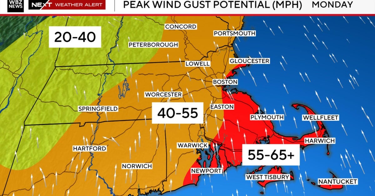
Now, for those of you interested in the weather for the O's home opener. Yes, the 3-0 Orioles are currently in 1st place in the AL East. The timing looks like the rain will lift north of Maryland in time for the game and we will fall in that short window where it's dry and very warm. However, it will also be windy with all of this going on. Winds will be out of the south-southwest with gusts probably up to 35 mph.
After the cold front comes through with gusty thunderstorms Tuesday morning, the winds will remain up but this time out of the northwest. That northwesterly wind will bring in much cooler air. We will likely hit our highs in the 50s early in the day and temperatures will fall through the afternoon. Unlike the last few cool downs, this one is not going to stick around. Temperatures will recover back to near 60 on Wednesday and then the upper 60s on Thursday.
It does look like the warmer air will stick around into the weekend but the stormy weather pattern will continue. We will be watching one storm pass north of us on Wednesday, another coming our way Friday and maybe one more over the weekend.
Happy Home Opener!
