BLOG: Huge Heat Wave Building
We are wrapping up an amazing stretch of dry, July weather. After topping out at 87 degrees, this becomes the third straight day with highs below average. Our average high right now is 88 degrees. Statistically, that is the highest it gets for the entire year. The average high will stay at 88 degrees through July 25 before it starts to drop off again. However, we are going back above average starting tomorrow.
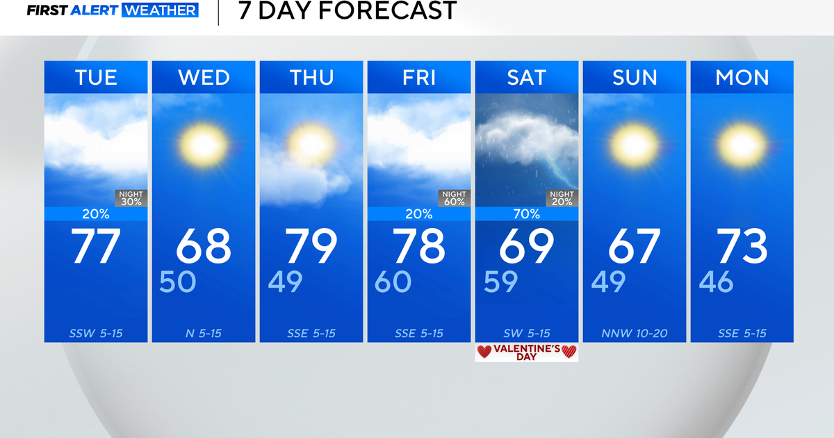
There is a huge heat wave building over the middle of the country again. Two different fronts will draw that heat up and over toward the Mid-Atlantic through the week. Both temperatures and heat/humidity will start their first climb tomorrow and continue that climb Monday and Tuesday. The first cold front that will usher that heat our way, will also drag some thunderstorms across the state. There could be a thunderstorm late Monday, but the better chance would be Monday night and Tuesday. The front will get out of here Wednesday, although a thunderstorm could still pop up with the building heat Wednesday evening.
Another push of heat will move our way late week. Highs will jump into the mid and maybe even upper 90s. We will keep track of the numbers as we move through the week, so make sure you check back in for the latest.


