WEATHER BLOG: High Winds, Major Problems
There is a LOT going on weather-wise, so let's get right to it.
Yesterday's front is gone, but we are still dealing with the winds from it. They have been gusting between 55-60 mph across most of the state today, which puts them in the tropical storm category. For a complete list of peak wind gusts, go here.
These high winds have caused major problems today. They have downed trees and power lines, delayed and canceled flights, and have caused the spread of many wild fires. It's the combination of the high winds and very dry conditions are have lead to all the fires. We are already down .95" in the rainfall bucket this month, and -1.76" on the year. The winds are fanning the flames so quickly that firefighters are having a hard time keeping up with them. The winds will start to back off overnight from the 50-60 mph gusts, but they will still be high. Even tomorrow, expect gusts up to 20-30 mph as the dry conditions continue. But that will change as a new storm moves our way Monday.
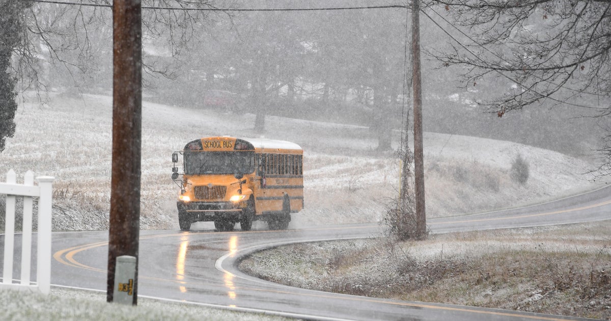
There are 2 different storms coming Monday and Tuesday. The first will cause the clouds to start increasing Sunday, then cause spotty rain Monday. Then the second will quickly follow Monday night into Tuesday. The second one will take a more southern track, and tap into a new round of Arctic air that is charging back into the U.S. Rain will change over to snow by Tuesday morning. The roads have been so warm lately, that most of the snow will melt as it hits the roads, but there is the chance for some accumulation out of this.
The second storm will get out of here Tuesday afternoon, but draw that Arctic air back into Maryland. Get ready for a harsh step back to February reality when the 70s from last Thursday and Friday becomes 30s on Tuesday. But the harshest of this cold air is not going to stick around long. Temperatures will rebound for the second half of the week.
It's going to be a wild swing in the weather. Stay tuned...


