BLOG: Hang On, We Are Going For A Weather Ride!
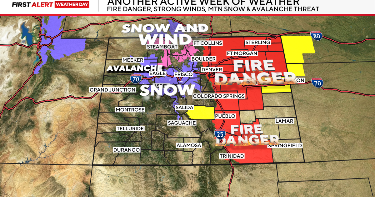
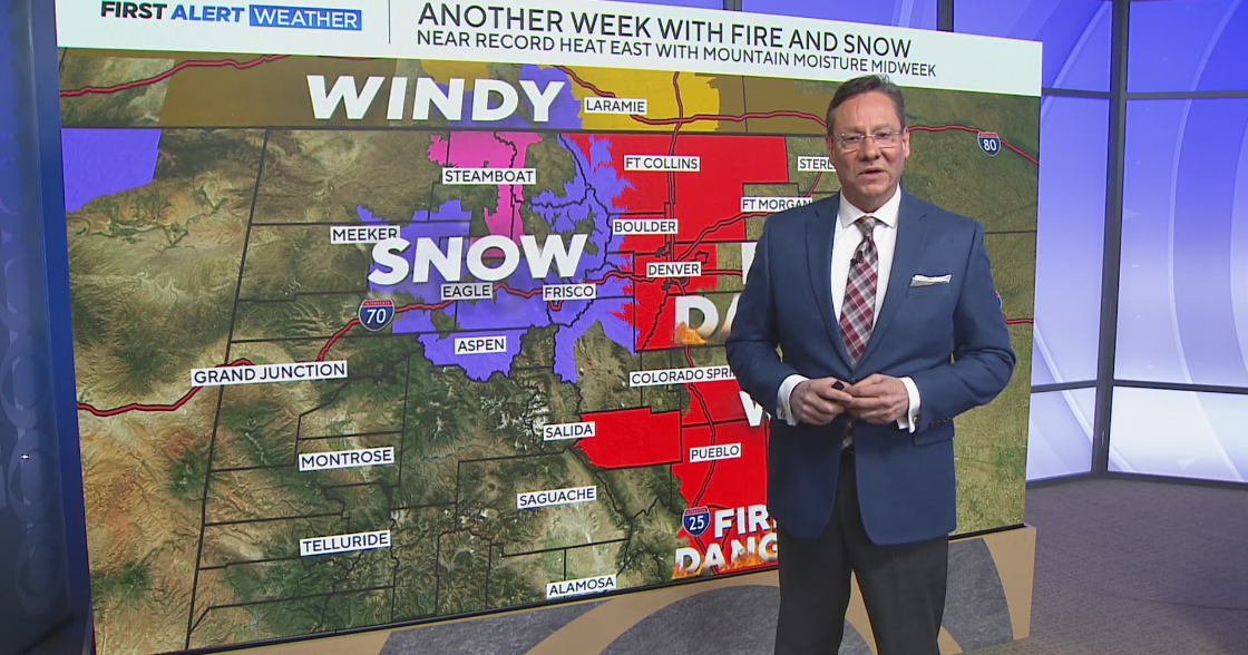
Each day is a completely different weather story right now. We go from near record warmth to damaging winds to snow. Yes, I just said (or wrote) snow, and it's coming our way.
Yesterday's strong winds have calmed down significantly today. At the same time, moisture/humidity levels are on the rise as a new comes in from the Midwest. Both of these factors are great news for the fires and fire threat that remains high. Spotty rain and drizzle will move through the state tonight and tomorrow with the first of two storms. It will remain mild during this time, but that is also about to change with the second storm.
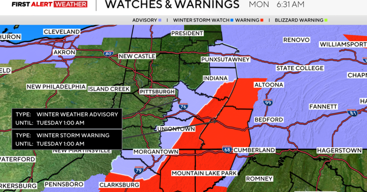
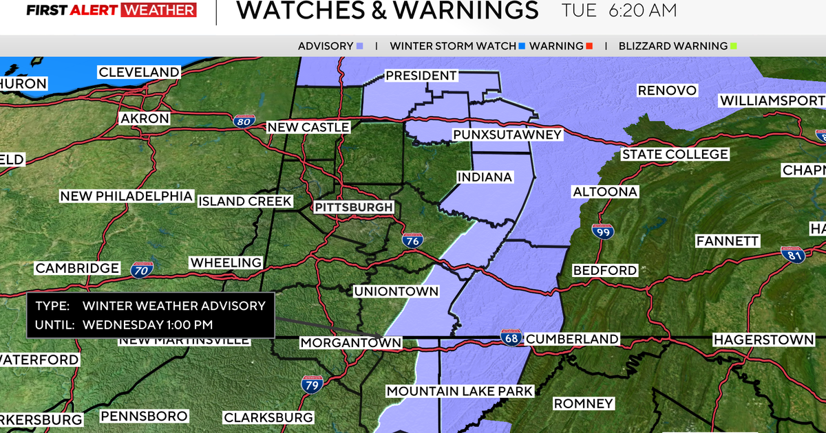
The second storm is a different story. It's going to take a more southern track Monday evening through Tuesday. Rain will really start to pick up Monday evening/night and then change over to snow overnight as the Arctic air comes racing in to meet up with it. There could even be a small accumulation from this storm by Tuesday morning. However, the roads have been so warm lately that a lot of this will just melt when it hits the ground - and the accumulation will be mainly on the grassy areas, trees, and cars.
The storm will get out of here Tuesday afternoon, but will pull in the Arctic air as it leaves. Temperatures will drop into the 20s Tuesday afternoon. Amazing! We go from mid 70s Friday to 20s Tuesday to teens Tuesday overnight/Wednesday morning. That is 40-50 degree swing in 5 days. The Arctic air will not hang around long, as temperatures moderate for the second half of the week.
We will be watching for another storm with rain Thursday night if not Friday.
