BLOG: Dec. 5 Brings Flurries Again
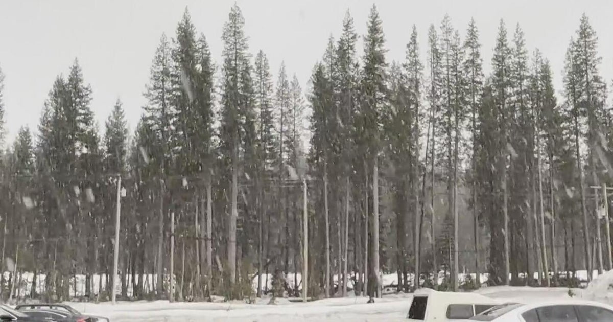
Of course there were snow showers and flurries today--it's Dec. 5. If you didn't read my blog from earlier this week, you are probably wondering what we are talking about. Well, over the last 10 years on Dec. 5, we have gotten snow or flurries 8 times - and that includes today. Last year we got 1" of snow on this date, and had 4.7" on 2007.
The snow showers and flurries today are from a strong lake-effect snow event that has kicked in. In western Maryland, the snow is piling up on the western facing slopes of Allegany and Garrett counties. These snow bands weaken significantly once they cross the mountains, but they are strong enough that we are still getting rounds of snow showers and flurries. And we are locked in this weather pattern for at least the next two days, keeping a winter storm warning in effect for western Allegany and Garrett Counties through then.
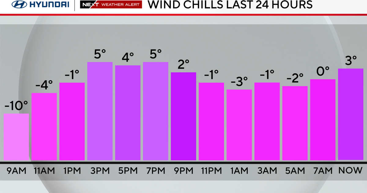
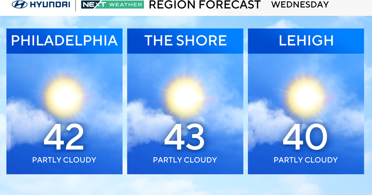
The other thing locked in is the cold. We only made it to 39 degrees this afternoon, which is 10 degrees below average. The cold air is going to stick around through the rest of the week. Highs will not get out of the 30s through Thursday. Then, we may creep back up into the 40s Friday, but still be way below average.
The strong lake-effect connection will break for the second half of the week. But, another Clipper storm system will try to move our way Friday into Saturday.
