BLOG: Clipper On The Way
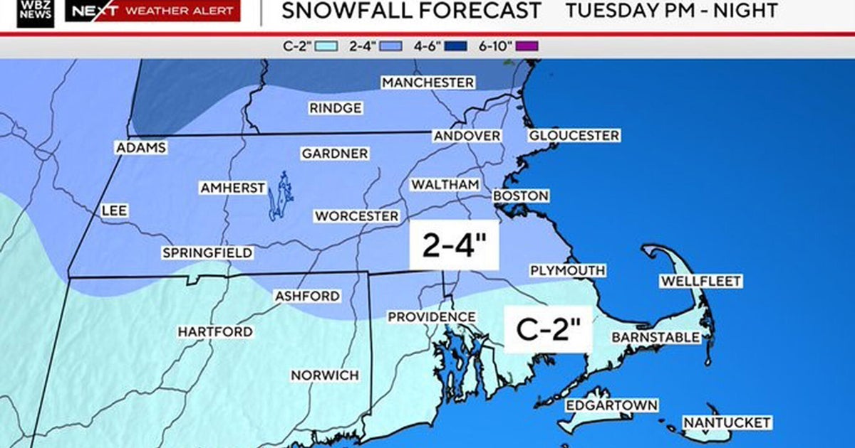
As a 'clipper' starts to dive southeastward and out of the Great Lakes today, there will be a tendency for any sun to fade behind increasing clouds. There will be a wave of low pressure very late tonight and tomorrow morning (a so-called 'secondary' feature) that will be forming near the Chesapeake Bay. This is our rationale for allowing snow and flurry activity late tonight and tomorrow to bring around an inch or so.
Granted the timing may be such that there could be some slick travel conditions for tomorrow morning's commute, and it would be a good idea to allow for some extra travel time during the morning rush -- but the bulk of this snow, when it really gets going in earnest, will occur well to the north and east of Baltimore.
It will be cold on Friday afternoon, Friday night and during the weekend. Then, we may be watching another storm develop early next week, which could bring with it some snow or flurries on Tuesday/Tuesday night.
Have a good day!


