BLOG: A Watchful Eye
Christmas Day may start out partly sunny before clouds begin to increase ahead of the upper level feature associated with the current Midwest storm. By this time, the upper level feature will bring light snow across Ohio and western Pennsylvania, while the southern feature will be over the northern Gulf. All the models up to this point are pretty consistent, keeping the viewing area dry. It's after this period that the inconsistencies start.
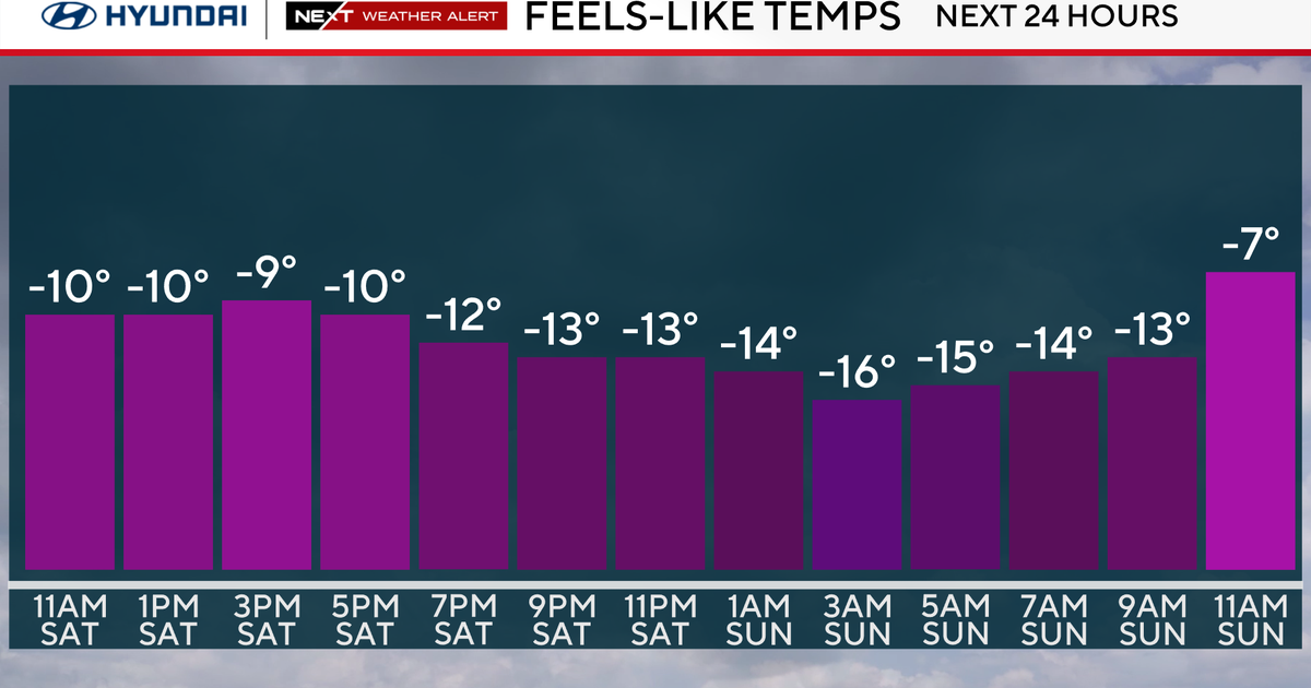
Meanwhile locally, skies will end as mostly cloudy, although I don't see any significant snow in the forecast— at least through Saturday night. We are covering for flurries or light snow as a mention with the upper level feature.
By Sunday, our storm will be exiting the southeast coast and could track northeast ending up east of the Delmarva or New Jersey by the end of the day, depending on which timing you like. It's interesting that the GFS is actually the slowest solution, where it has been the quickest for much of the week. It also is the closest to the coast, which is a flip of what earlier runs of the model have indicated.
Meanwhile, the NAM and Euro have both trended further east. All the models are consistent in showing a dry morning, although the GFS does show some snow beginning in the afternoon, especially east and south of the city. If any snow does occur, it's a safe bet that areas east of the city would see the highest amounts, while areas west would see the lowest amounts. We will still have a chance for snow on Sunday night as the storms exits to the northeast. By Monday, any chance of morning snow will likely be confined to eastern New Jersey. Overall, this system looks more and more like a nuisance storm for the city, while areas near the coast will be in the highest threat zone, but it may take another couple of model runs to get a better handle on this system.
Behind the system, we'll begin to see gusty northwest winds once again, which will make Monday feel brutal. Blustery conditions remain on Tuesday, while high pressure will build into the region Tuesday and Wednesday.


