BLOG: A Dose Of Winter Is Headed Our Way
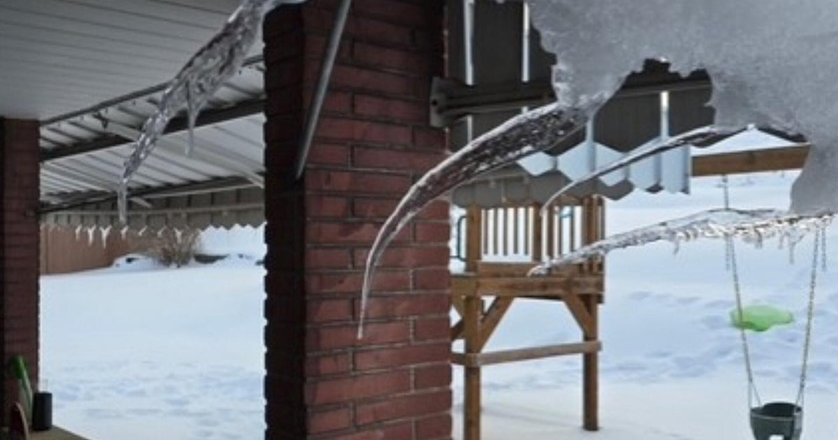
Yes, it is spring but a dose of winter is moving our way.
There was a lot of sunshine today, but it did little to warm us up. We only topped out at 46 degrees. That is way below the average which is now up to 57 degrees. The cold air will keep pushing southward just as a new storm is moving our way from the Midwest. The center of the storm will pass to our south, through Virginia and North Carolina. Most of the moisture will move along with the center of the storm. However, we are close enough to still see some moisture. And that's where it will meet up with the cold air -- air cold enough for snow.
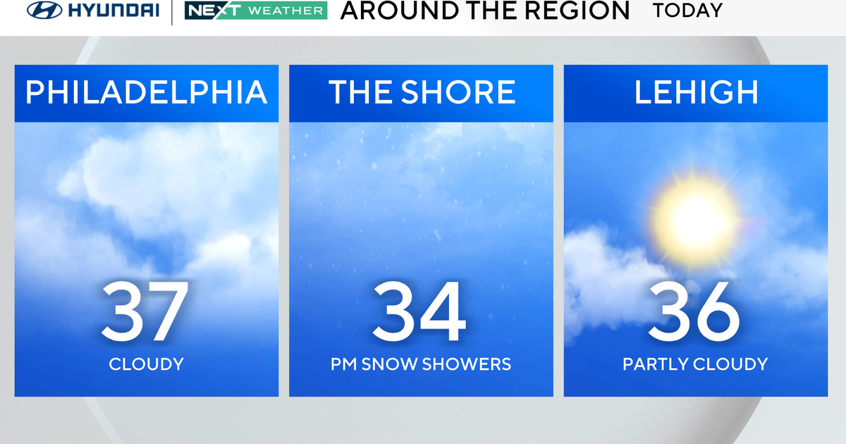
This is going to be a close call. The band of moisture really fizzles the farther north it goes, and it doesn't look like there will be much if anything north of the Pa./Md. border. That changes the farther south you go, but you also get away from the colder air the farther south you go. So it looks like there will be a little snow breaking out across the state overnight, then mixing with some rain before it ends tomorrow afternoon. We are generally calling for a trace-1" of slushy wet snow, with any real accumulation on the grass, cars, and trees. The roads have just been so warm lately. Even though it will remain cold tomorrow (highs only in the upper 30s), that is enough to create melting.
This storm leaves us tomorrow afternoon, but the chilly air will linger. Highs will climb into the 40s on Monday and maybe even hit 50 on Tuesday. Then, another storm comes our way with rain on Wednesday and drops us back into the 40s again. Temperatures will slowly start to climb into the weekend, but most of the next week looks to be below average in the temperature department. Happy Spring!
