Another Winter Storm Coming To Maryland
**THIS STORY IS FROM MARCH 2014***
BALTIMORE (WJZ) -- It may be March, but we're not out of the woods just yet. Another winter storm is coming to Maryland.
Meteorologist Chelsea Ingram reports March came in like a lamb, but is quickly turning into a lion.
A triple threat of rain, ice and snow is heading our way.
An approaching winter storm has already prompted winter weather watches and warnings across the region. A Winter Storm Warning is in effect from 7 p.m. Sunday to 6 p.m. Monday.
Timeline:
Because Sunday will be very seasonable with highs near 50, we will start out with rain during the late afternoon/evening moving in from northwest to southeast.
The first batch of frozen precipitation is forecast to push in around midnight in the form of freezing rain and/or sleet before changing over to snow between 3 and 4 a.m.
Both rush hours Monday are expected to be impacted. Drivers are encouraged to go slowly and allow more time for travel.
Accumulations:
Total ice accumulation is expected to range from a trace to around 0.2" in spots.
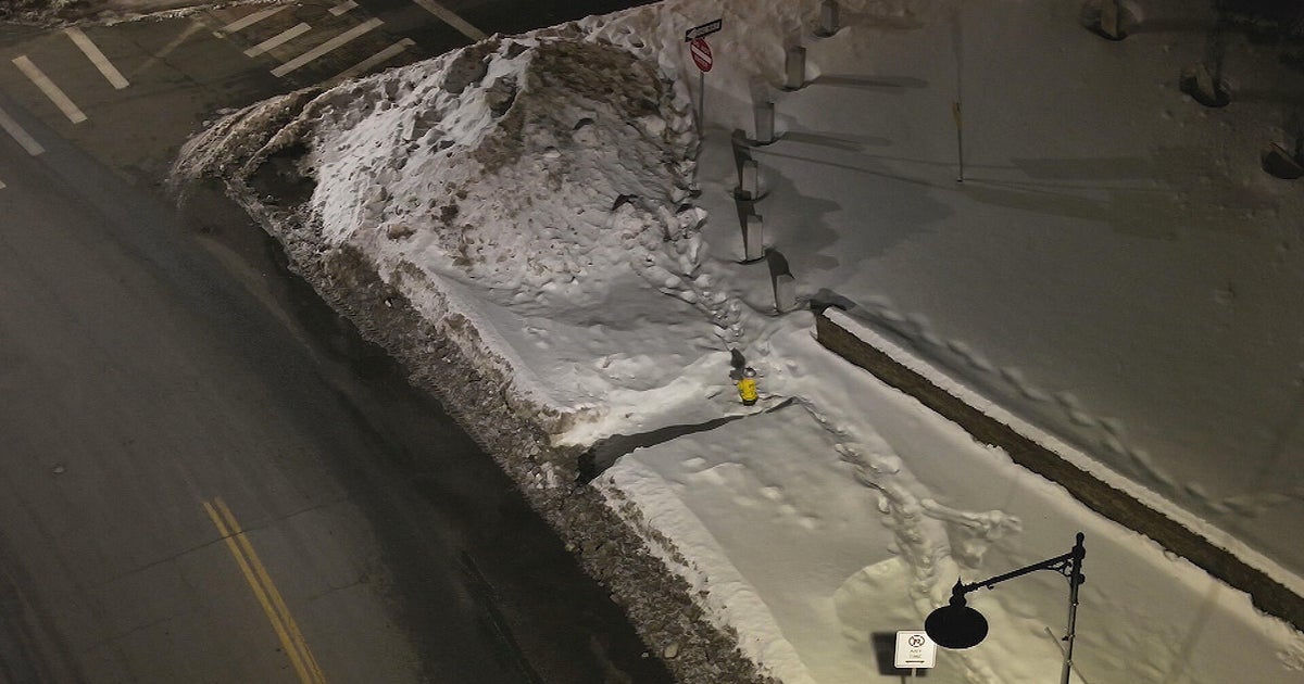
As snow continues on Monday, accumulations are expected to range anywhere from 8-12" in central Maryland.
Future:
Both highs and lows will be below normal on Tuesday and Wednesday. Overnight lows will be down into the teens. Thursday will be a little warmer and Friday will have temperatures in the 40s.
We could reach 50 degrees by Saturday.
Check: Radar & Maps | Blogs
Other Local News:
