Winter Storm Watch For Maryland Extended East Ahead Of Storm
BALTIMORE (WJZ) -- Three Alert Days are ahead of us—Saturday for the harsh cold along with Sunday and Monday for the winter storm.
While Friday will be bright and mild, temperatures will start to plummet in the evening hours. Make sure you bundle up if you're going out because it will be bone-chillingly cold.
Overnight lows bottom out in the mid-teens but gusty winds will make it feel closer to 5°.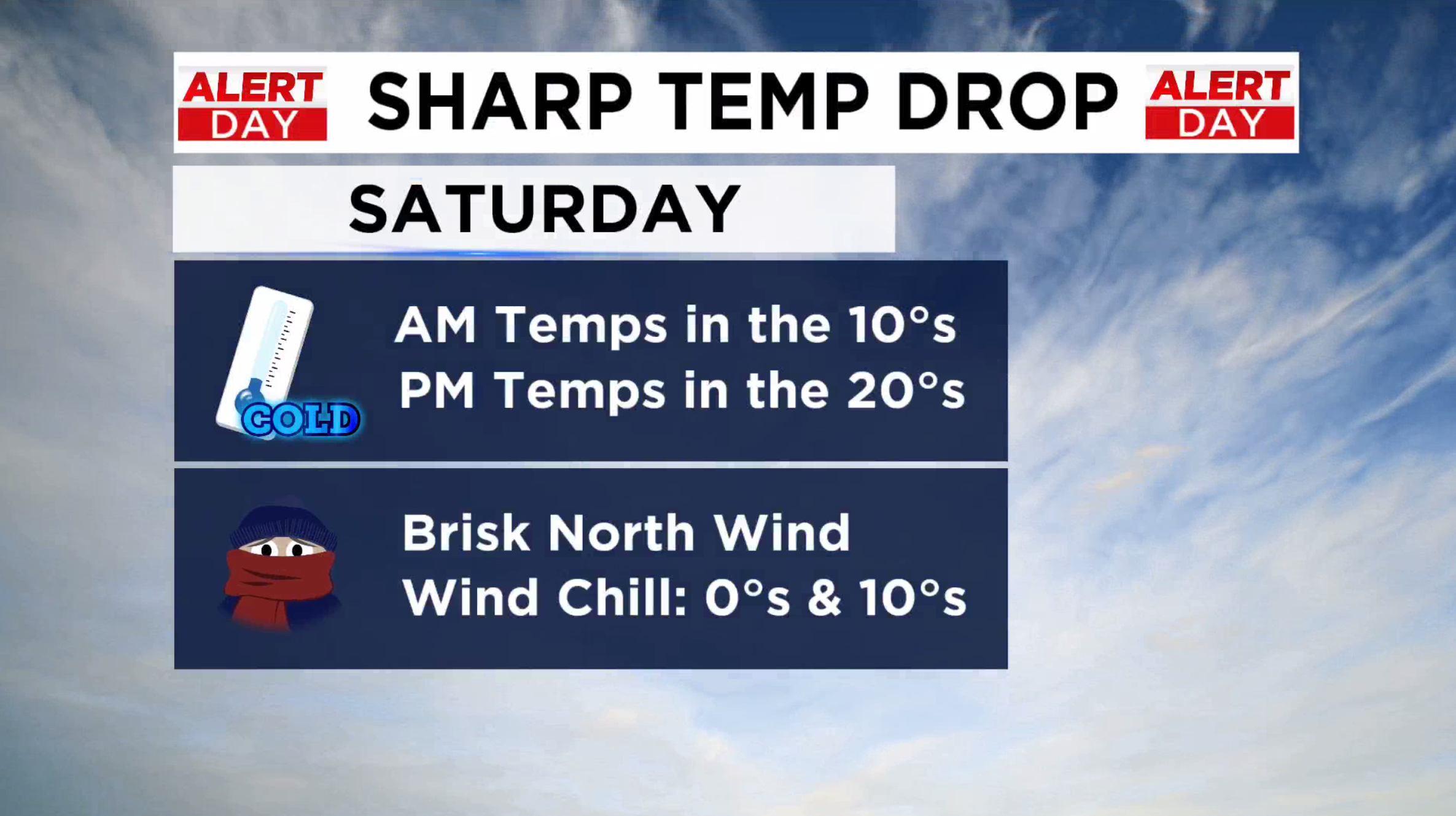
Saturday's temperatures struggle to get out of the mid 20s and with north winds 10-15 mph, wind chills will remain in the teens.
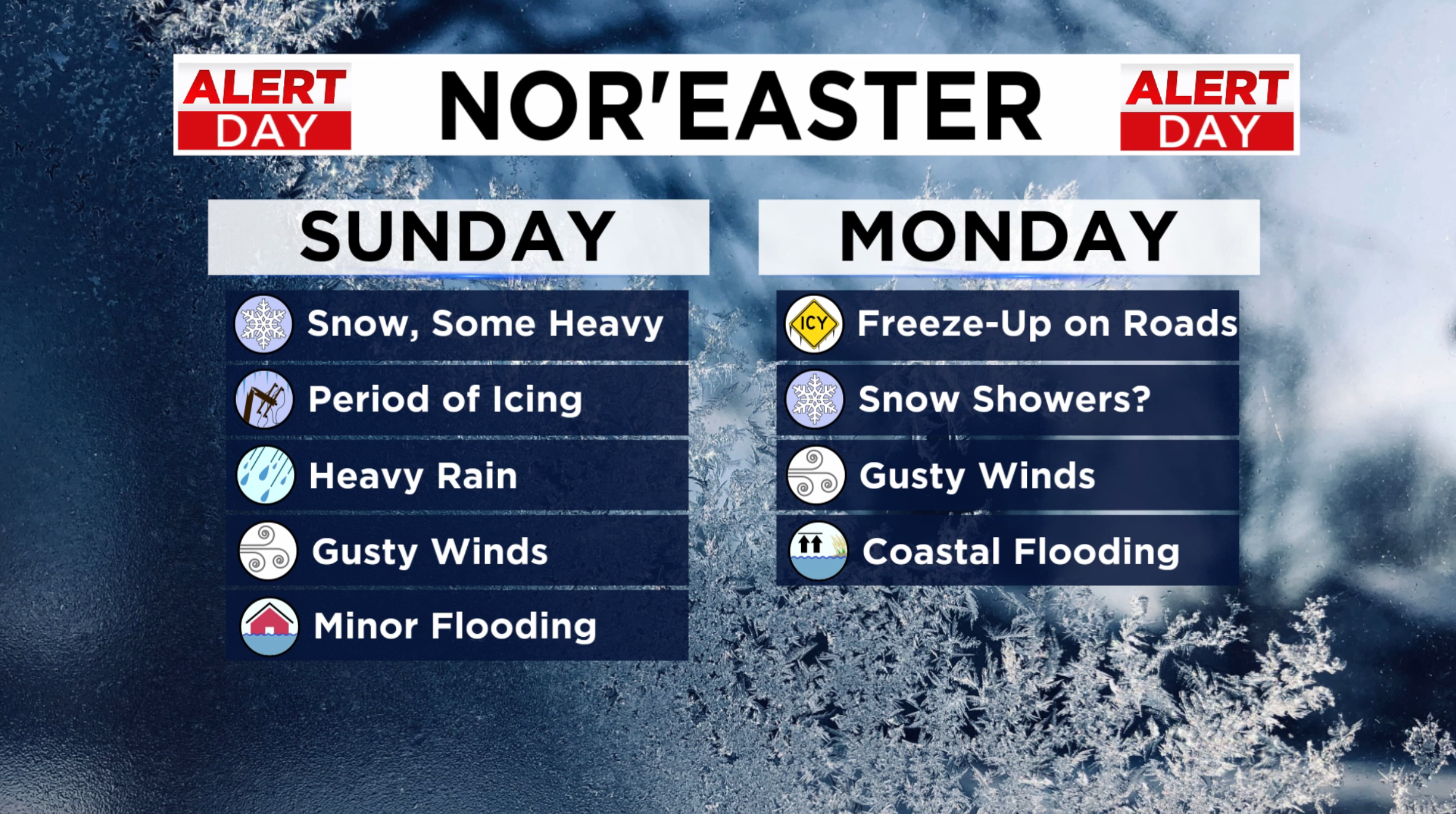
On Sunday, a winter storms takes aim at Maryland delivering snow, ice, rain and very strong winds.
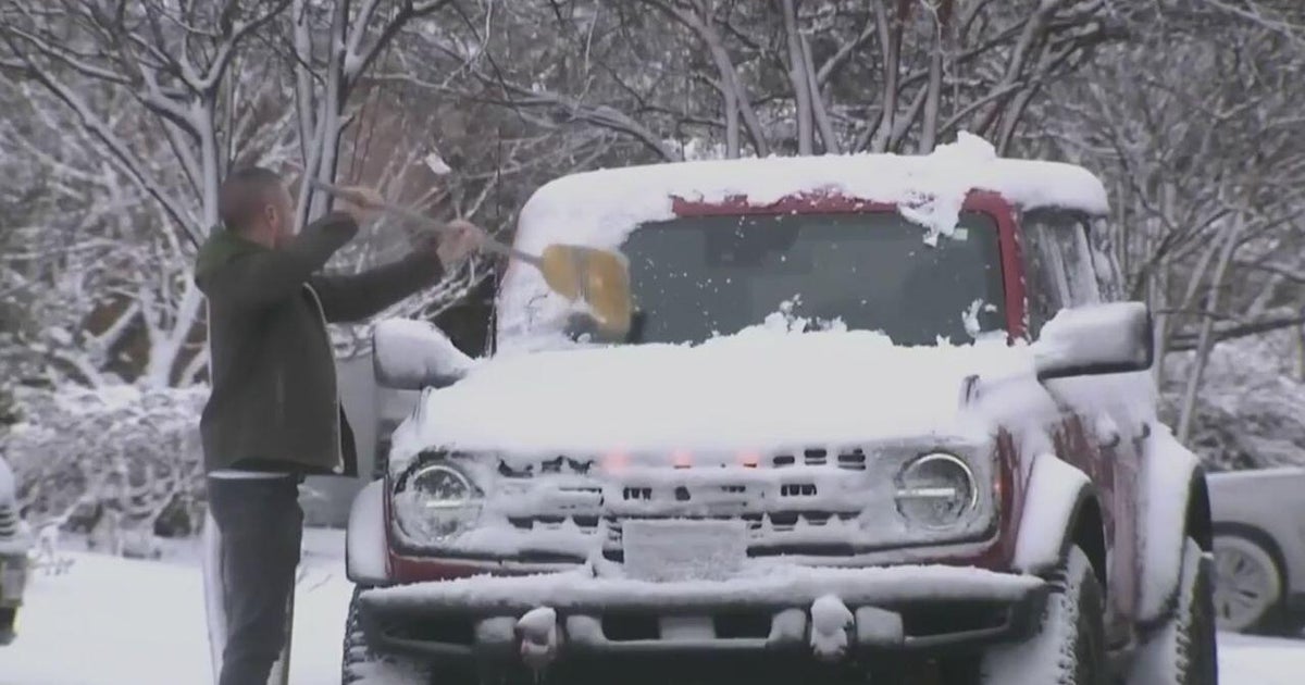
Expect snow showers to spread across southwestern portions of the state by midday and reach the Baltimore area by the early afternoon.
Allegany, Baltimore, Carroll, Frederick, Garrett, Harford, Howard, Montgomery and Washington counties, along with Washington D.C., are under a Winter Storm Watch from Sunday afternoon into Monday morning.
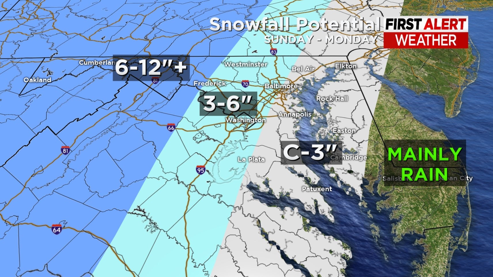
Western Maryland will likely see the highest snow totals with 5-10 inches of snow expected, along with the potential for ice and wind gusts as strong as 45 miles per hour.
Parts of central and northern Maryland are predicted to get 1-3 inches of snow, and it's possible they could see one-tenth of an inch of ice and strong gusts, too.
What will likely start as snow for central Maryland in the afternoon will transition to freezing rain and then rain in the evening.
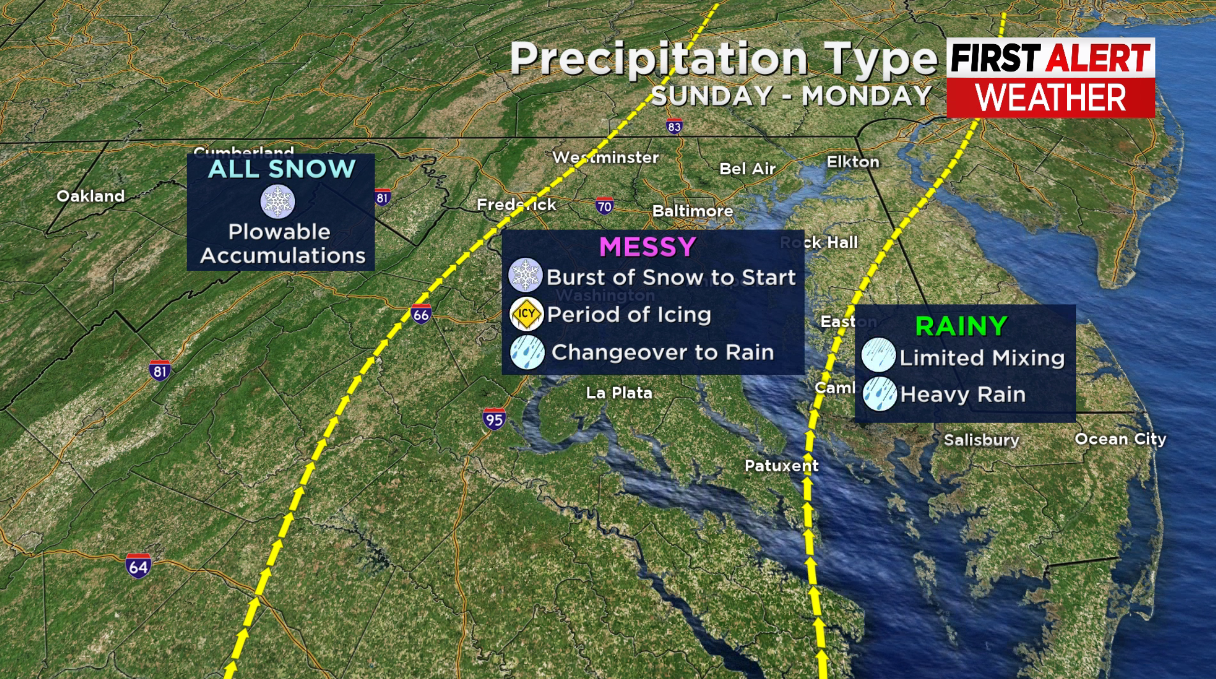 Before this changeover, expect the snow to be fairly heavy.
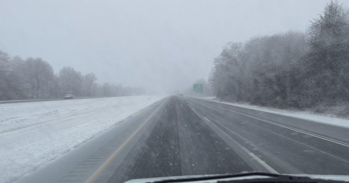
Snowfall rates of 1-2 inches an hour as possible will make travel very difficult Sunday afternoon into the evening.
If you don't need to be on the roads during the second half of the day Sunday into Monday morning, consider staying home.
Areas that do transition to rain could see minor flooding thanks to heavy downpours.
There's also the possibility that this storm end as snow for central Maryland before the low leaves us behind.
This storm will also bring us very strong winds. Gusts up to 50 MPH are possible as the low pushes across the state and as it pulls away from Maryland.
Make sure you stay ahead of any storm with the WJZ app. You'll receive the most up-to-date forecasts from the most trusted team in town, and notifications about incoming weather.
