Atmospheric rivers forecast for Pacific Northwest, with flood watches in place
Atmospheric rivers are expected in the Pacific Northwest this week as heavy rainfall continues to deluge the region.
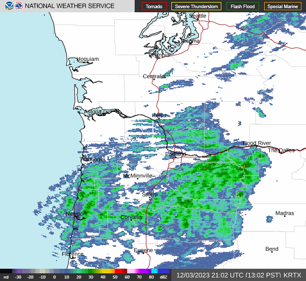
The National Weather Service on Saturday issued a flood watch for most of southwest Washington and northwest Oregon that will remain in place until Wednesday afternoon.
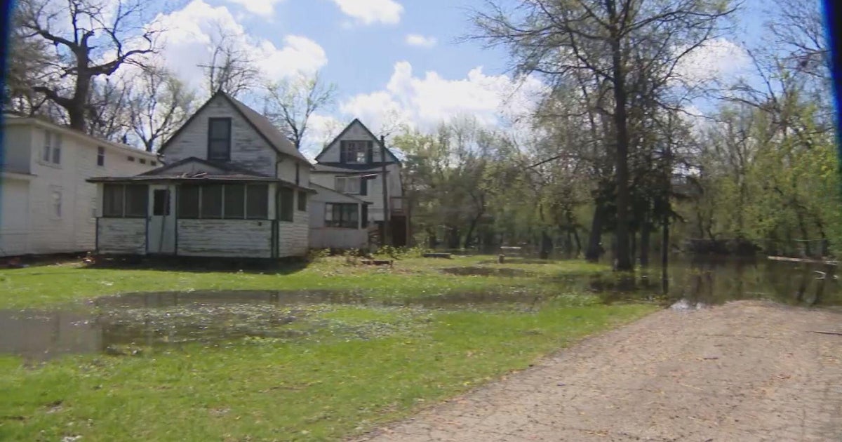
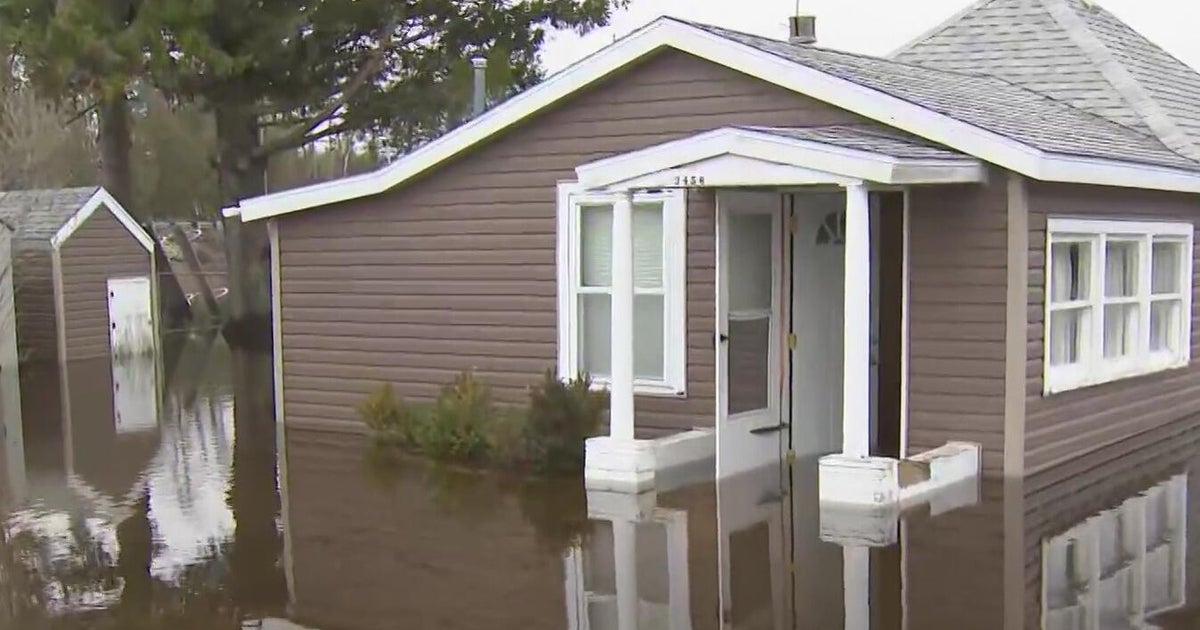
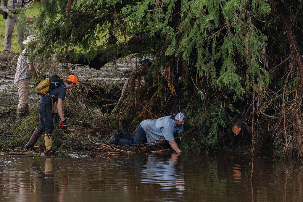
"Excessive runoff may result in flooding of rivers, creeks, streams, and other low-lying and flood-prone locations," NSW said."Creeks and streams may rise out of their banks. Flooding may occur in poor drainage and urban areas."
Atmospheric rivers are long regions in the atmosphere that transport water. The water vapor they carry is roughly equivalent to the average flow of water at the mouth of the Mississippi River, according to the National Oceanic and Atmospheric Administration. When the rivers make landfall and release all that water, they can cause extreme flooding.
Rain amounts through Sunday afternoon are expected to be anywhere from 1-3 inches along the south Washington and north Oregon coast, and up to 2 to 5 inches over the Coast Range and Willapa Hills, according to NWS. Oregon's Coast Range could see between 3-7 inches of rain.
"More rain is expected Monday and Tuesday with another frontal system, though heaviest rain will likely remain over western Washington," NWS said.
In the meantime, a warm atmospheric river just off the Pacific coast will be aimed directly at the Pacific Northwest through Wednesday, CBS affiliate KOIN reported.