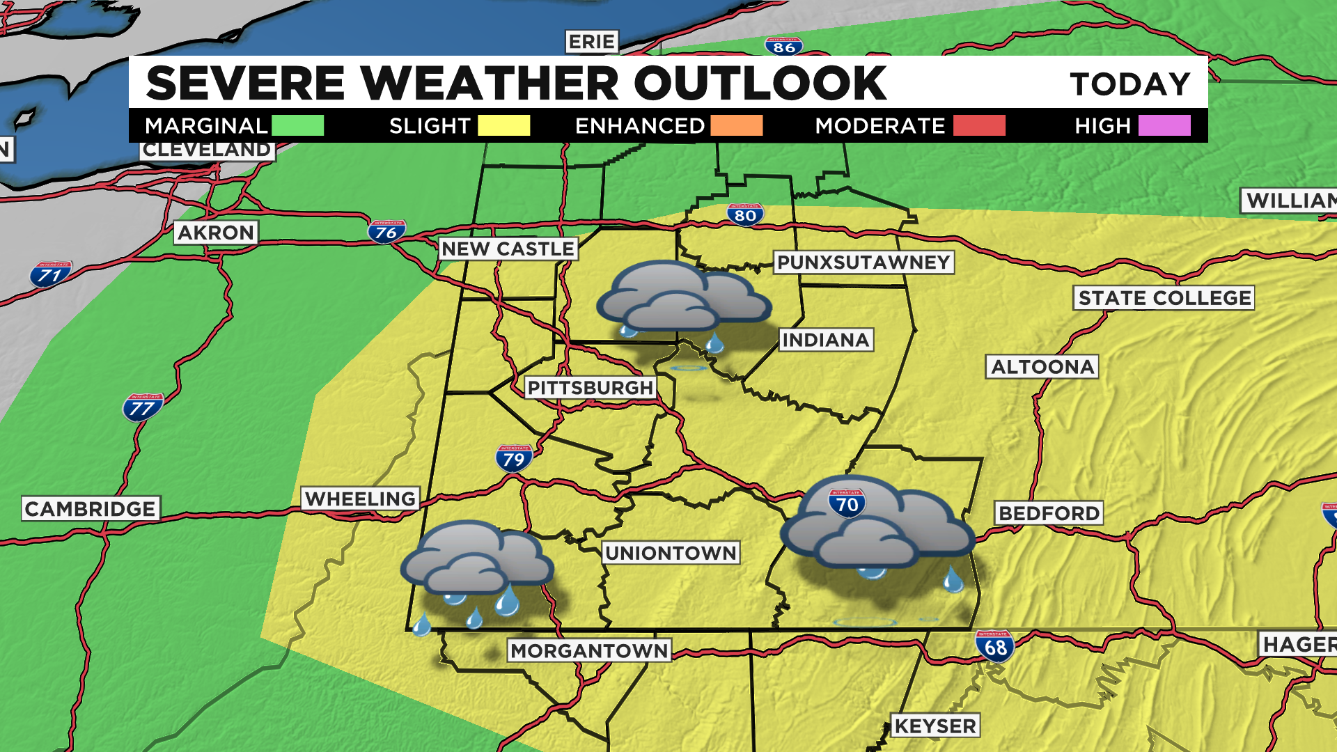
Western Pa. Region Upgraded To Slight Risk Of Severe Weather
PITTSBURGH (KDKA) -- Rain and storm chances are ticking up for this afternoon.
Today's storm chance is not what you would consider a 'classic' storm set-up.
Dew points are on the low side, and it won't be exactly hot this afternoon.
What we will have is a cold front pushing out ahead of a VERY dry and cool pool of air.
This will allow lapse rates in the mid to upper levels to increase, meaning instability will be there for storm growth.
At this point the biggest concern will be strong straight-line winds.
While lower, there will also be a chance for large severe hail, and I cannot rule out a tornado with high sheer in place due to the mid-level low.
Highs today will be near 80 degrees. noon temperatures will be in the upper 70s.
Winds will be light and out of the west ahead of storms.
Expect lots of sunshine for most of the day.
Rain and storm chances will only last about an hour before they push south of your location.
This is the perfect time to stay weather aware throughout the day.
WEATHER LINKS:
Current Conditions | School Delays & Closings | Local Radar | Weather App | Photos
Stay up to date with the KDKA app, which you can download here.