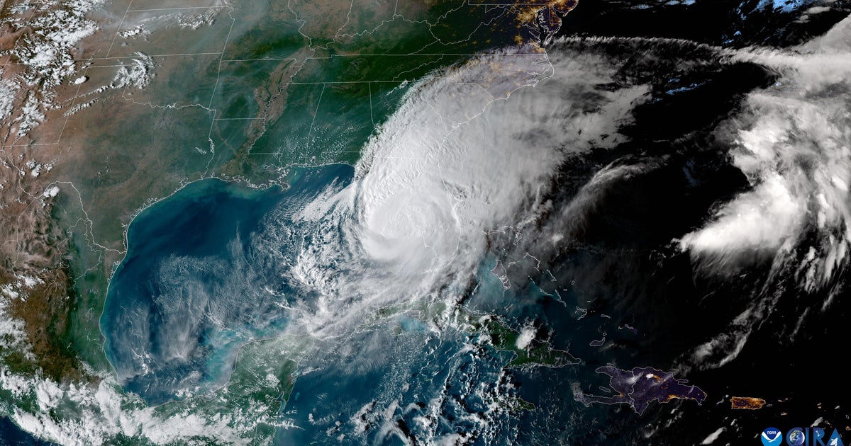
Tropical Storm Bret strengthens slightly, but no longer forecast as a hurricane
The National Hurricane Center is monitoring two systems in the Atlantic Ocean that could develop into more severe storms. One of the systems, Tropical Storm Bret, is expected to hit the Lesser Antilles and Barbados in the coming days, while another will likely become a tropical depression.
Bret, currently a tropical storm with maximum sustained winds of 45 mph, was expected to further strengthen into a hurricane when the National Hurricane Center issued a forecast on Tuesday morning. But by early Tuesday afternoon, forecasters said that would likely no longer be the case.
"Bret is moving toward the west near 18 mph," the National Hurricane Center said in its latest forecast. "On the forecast track, the center of Bret is expected to move across portions of the Lesser Antilles Thursday afternoon and Thursday night, and then move across the eastern Caribbean Sea on Friday."
A tropical storm watch was issued for Barbados and means tropical storm conditions are possible within the next 48 hours. The NHC said additional tropical storm watches were likely to come later Tuesday.
Should it still find a way to strengthen into a hurricane, Bret — which is currently the second named storm of the Atlantic hurricane season — would be the first named hurricane of the season.
The storm is expected to approach the Lesser Antilles islands "through early Thursday" before moving across them through the night as a tropical storm, the national forecasting service said. The Lesser Antilles are comprised of numerous island nations and territories, including the U.S. Virgin Islands, Antigua and Barbuda, Aruba, and Trinidad and Tobago, among others.
Flooding, strong winds and dangerous waves continue to be a risk in those islands, forecasters warned.
"Given the larger-than-usual uncertainty in the track and intensity forecasts, it is too early to specify the location and magnitude of where Bret's associated hazards could occur. However, everyone in the Lesser Antilles, Puerto Rico, and the Virgin Islands should closely monitor updates to the forecast for Bret," forecasters said.
The second system, dubbed AL93, is a tropical wave "several hundred miles" away from the Cabo Verde Islands. The National Hurricane Center said Tuesday morning that conditions surrounding that system appear as though a "tropical depression will likely form during the next couple of days." As of 5 p.m. ET, there's a 70% chance of that happening within 48 hours.
According to NOAA, tropical waves are when long areas of relatively low-pressure move east to west across the tropics. These systems can lead to tropical cyclones. It becomes a tropical cyclone when maximum sustained winds hit 38 mph.
Weather Channel Meteorologist Stephanie Abrams told "CBS Mornings" on Tuesday that Bret is a "unique" storm.
"We usually don't get our second named storm until mid-July. Also, it formed far out in the Atlantic, where storms usually get their start much later," she said. "And the first hurricane of the season doesn't typically happen until August."
Last year's first named hurricane, Danielle, didn't form until September.
Abrams said the reason for this early start is two-fold: low shear and warm waters. Both of these factors have become more present this year with El Niño's return.
"Things can change quickly so the time to prepare is now," she said.


